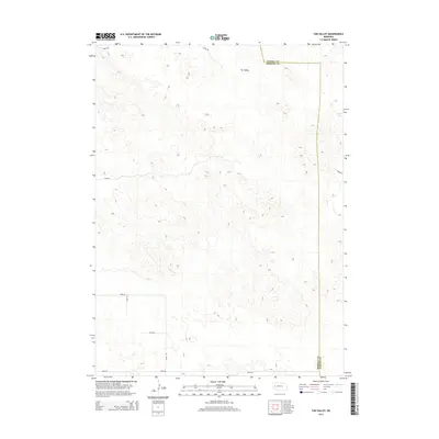
2014 Map of Tar Valley
USGS Topo · Published 2014About this map
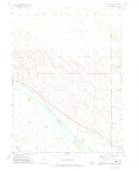
Tar Valley provides a high-resolution look at the undulating sandhills of western Nebraska, where the county line between Garden County and Morrill County cuts through a landscape defined by its depressions and intermittent water features. The eastern edge of the quadrangle is marked by Horse Lake, a notable local landmark in this arid stretch of the Nebraska Panhandle. The map reveals a highly structured grid of section lines and rural thoroughfares, including Road 106 in the north and Road 88 in the south. This network of infrastructure, including Road 137 and Road 139, highlights the systematic parceling of the high plains for ranching and agriculture in the early twenty-first century. The absence of traditional town centers emphasizes the vast, open character of this ranching country.
Find a feature on this map
13 named features on this map. Tap any name to fly to it.
Don’t see what you’re looking for? This feature index may not catch every label — zoom into the map to look around manually.
Map Details
Editions of this 2014 Tar Valley Map
This is the sole edition of this map. No revisions or reprints were ever made.
Other maps of this area
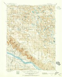
1896 · Browns Creek
USGS Topo · 1:125,000
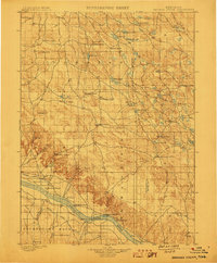
1899 · Browns Creek
USGS Topo · 1:125,000
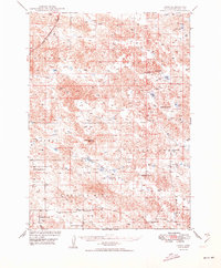
1949 · Lynn
USGS Topo · 1:62,500
1950 · Storm Lake
USGS Topo · 1:62,500

1954 · Scottsbluff
USGS Topo · 1:250,000

1958 · Scottsbluff
USGS Topo · 1:250,000
1965 · Broadwater
USGS Topo · 1:24,000
1965 · Broadwater NE
USGS Topo · 1:24,000
1971 · Richardson Lake
USGS Topo · 1:24,000
1971 · Tar Valley SW
USGS Topo · 1:24,000