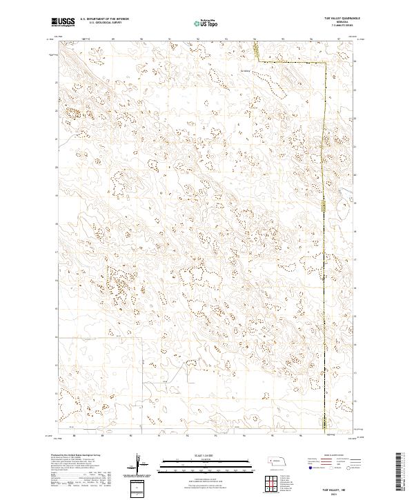
2021 Map of Tar Valley
USGS Topo · Published 2021About this map
Tar Valley defines this portion of the Nebraska Panhandle, where the high plains terrain is marked by the boundary between Morrill and Garden counties. The landscape is organized by the Public Land Survey System, with township lines such as t20n r47w and t19n r46w creating a distinct grid across the undulating topography. Local transit is facilitated by a network of rural routes, including Rd 88, Rd 92, and Rd 139. This survey provides a precise view of the rural infrastructure and land divisions in a sparsely populated region of western Nebraska, where the natural basin of the valley is the primary geographic focal point.
Find a feature on this map
12 named features on this map. Tap any name to fly to it.
Don’t see what you’re looking for? This feature index may not catch every label — zoom into the map to look around manually.
Map Details
Editions of this 2021 Tar Valley Map
This is the sole edition of this map. No revisions or reprints were ever made.
Other maps of this area

1896 · Browns Creek
USGS Topo · 1:125,000

1899 · Browns Creek
USGS Topo · 1:125,000

1949 · Lynn
USGS Topo · 1:62,500

1950 · Storm Lake
USGS Topo · 1:62,500

1954 · Scottsbluff
USGS Topo · 1:250,000

1958 · Scottsbluff
USGS Topo · 1:250,000

1965 · Broadwater
USGS Topo · 1:24,000

1965 · Broadwater NE
USGS Topo · 1:24,000

1971 · Richardson Lake
USGS Topo · 1:24,000

1971 · Tar Valley SW
USGS Topo · 1:24,000