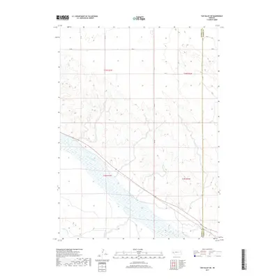
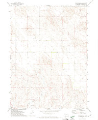
2017 Map of Tar Valley SW
USGS Topo · Published 2017About this map
The North Platte River defines the lower third of this Western Nebraska landscape, carving a wide, braided path through the valley. This 2017 survey shows the critical role of water management in the region, with the Lisco Canal and Belmont Canal flanking the river to support local agriculture. The terrain rises sharply to the north into the dissected hills of Garden Co, where a geometric grid of county roads such as Rd 86 and Rd 143 provides access to the high plains. The boundary line for Morrill Co Garden Co runs north-south through the eastern portion of the sheet, marking the transition between jurisdictions amidst a landscape of prominent ridges and drainages that lead toward the river valley.
Find a feature on this map
20 named features on this map. Tap any name to fly to it.
Don’t see what you’re looking for? This feature index may not catch every label — zoom into the map to look around manually.
Map Details
Editions of this 2017 Tar Valley SW Map
This is the sole edition of this map. No revisions or reprints were ever made.
Other maps of this area
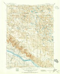
1896 · Browns Creek
USGS Topo · 1:125,000
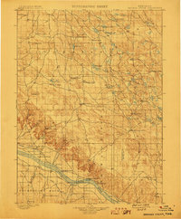
1899 · Browns Creek
USGS Topo · 1:125,000
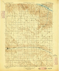
1899 · Sidney
USGS Topo · 1:125,000

1954 · Scottsbluff
USGS Topo · 1:250,000

1958 · Scottsbluff
USGS Topo · 1:250,000
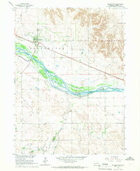
1965 · Broadwater
USGS Topo · 1:24,000
1965 · Broadwater NE
USGS Topo · 1:24,000
1971 · Richardson Lake
USGS Topo · 1:24,000
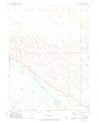
1971 · Tar Valley SW
USGS Topo · 1:24,000
1971 · Buske Ranch
USGS Topo · 1:24,000