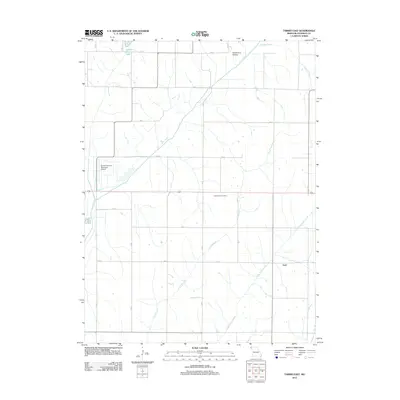
2012 Map of Tarkio East
USGS Topo · Published 2012About this map
The Tarkio River and its various tributaries, including Little Tarkio Creek and Long Branch, define the agricultural landscape of Atchison County. This region is characterized by a grid of rural section roads and the small settlement of York. Cultural landmarks like the Prairie Hill Cemetery are documented alongside modern infrastructure such as the Gould Peterson Municipal Airport.
Find a feature on this map
16 named features on this map. Tap any name to fly to it.
Don’t see what you’re looking for? This feature index may not catch every label — zoom into the map to look around manually.
Map Details
Editions of this 2012 Tarkio East Map
This is the sole edition of this map. No revisions or reprints were ever made.
Other maps of this area

1936 · Fairfax
USGS Topo · 1:24,000

1939 · Tarkio
USGS Topo · 1:62,500

1939 · Farragut
USGS Topo · 1:62,500

1939 · Skidmore
USGS Topo · 1:62,500

1940 · Tarkio
USGS Topo · 1:62,500

1940 · Farragut
USGS Topo · 1:62,500

1940 · Coin
USGS Topo · 1:62,500

1941 · Tarkio
USGS Topo · 1:62,500

1941 · Skidmore
USGS Topo · 1:62,500

1942 · Skidmore
USGS Topo · 1:62,500