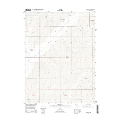
2014 Map of Tarkio East
USGS Topo · Published 2014About this map
Tarkio River and its various tributaries, including Little Tarkio Cr and Long Br, define the drainage of this Atchison County landscape. The topography is characterized by the branching stream valleys and notable depressions like Deadmans Hollow in the north. Settlement is concentrated around the eastern edge of Tarkio and the small community of York, both connected by the corridor of US Route 136.
Find a feature on this map
18 named features on this map. Tap any name to fly to it.
Don’t see what you’re looking for? This feature index may not catch every label — zoom into the map to look around manually.
Map Details
Editions of this 2014 Tarkio East Map
This is the sole edition of this map. No revisions or reprints were ever made.
Other maps of this area
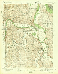
1936 · Fairfax
USGS Topo · 1:24,000
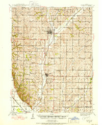
1939 · Tarkio
USGS Topo · 1:62,500
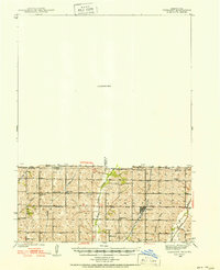
1939 · Farragut
USGS Topo · 1:62,500
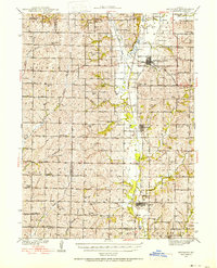
1939 · Skidmore
USGS Topo · 1:62,500
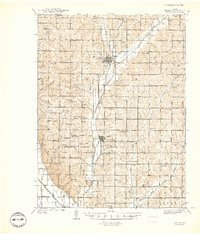
1940 · Tarkio
USGS Topo · 1:62,500
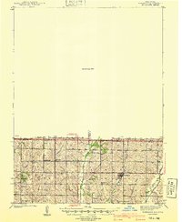
1940 · Farragut
USGS Topo · 1:62,500
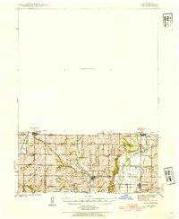
1940 · Coin
USGS Topo · 1:62,500
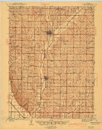
1941 · Tarkio
USGS Topo · 1:62,500
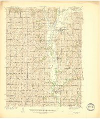
1941 · Skidmore
USGS Topo · 1:62,500
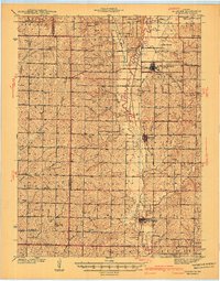
1942 · Skidmore
USGS Topo · 1:62,500