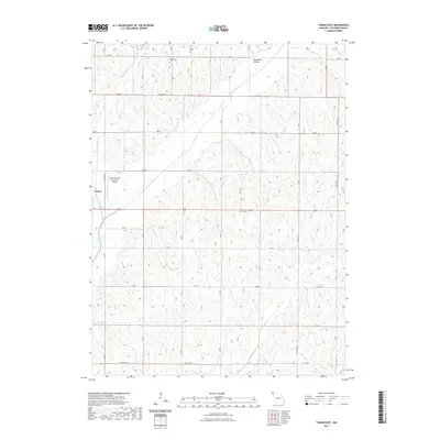
2021 Map of Tarkio East
USGS Topo · Published 2021About this map
Tarkio and its surrounding agricultural landscape in Atchison County are defined by the intricate branching of several waterways, including the Tarkio River, West Tarkio Creek, and Middle Tarkio Cr. This rural environment is organized by a precise grid of county roads, such as 160 St and 170 St, which connect dispersed homesteads and landmarks like the Gould Peterson Municipal Airport. Local history is anchored by the Center Grove Cem in the north and Prairie Hill Cem to the east, while the curiously named Deadmans Hollow provides a distinct topographic point of interest. The area's reliance on the land is evident in the proximity of small reservoirs like Center View Lake, supporting a community shaped by the fertile drainage basins of the Missouri borderlands.
Find a feature on this map
27 named features on this map. Tap any name to fly to it.
Don’t see what you’re looking for? This feature index may not catch every label — zoom into the map to look around manually.
Map Details
Editions of this 2021 Tarkio East Map
This is the sole edition of this map. No revisions or reprints were ever made.
Other maps of this area

1936 · Fairfax
USGS Topo · 1:24,000

1939 · Tarkio
USGS Topo · 1:62,500

1939 · Farragut
USGS Topo · 1:62,500

1939 · Skidmore
USGS Topo · 1:62,500

1940 · Tarkio
USGS Topo · 1:62,500

1940 · Farragut
USGS Topo · 1:62,500

1940 · Coin
USGS Topo · 1:62,500

1941 · Tarkio
USGS Topo · 1:62,500

1941 · Skidmore
USGS Topo · 1:62,500

1942 · Skidmore
USGS Topo · 1:62,500