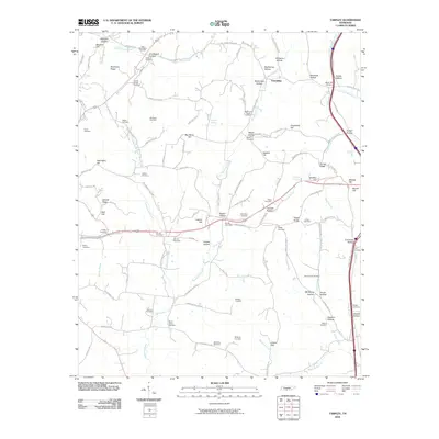
2010 Map of Tarpley
USGS Topo · Published 2010About this map
Friendship serves as a central point of reference in this corner of Tennessee, where the landscape is defined by a dense concentration of family-named landmarks and hollows. The terrain is deeply carved by watercourses like Pigeon Roost Creek, Leatherwood Creek, and Indian Creek, which have shaped the settlement patterns for generations. For genealogists, the map is remarkably dense with burial sites, ranging from the New Providence Cemetery in the north to the Birdsong Cemetery and Phelps Cemetery in the south.
Find a feature on this map
110 named features on this map. Tap any name to fly to it.
Don’t see what you’re looking for? This feature index may not catch every label — zoom into the map to look around manually.
Map Details
Editions of this 2010 Tarpley Map
This is the sole edition of this map. No revisions or reprints were ever made.
Other maps of this area

1936 · Milky Way
USGS Topo · 1:24,000

1936 · Aspen Hill
USGS Topo · 1:24,000

1936 · Cornersville
USGS Topo · 1:24,000

1936 · Brick Church
USGS Topo · 1:24,000

1936 · Pulaski
USGS Topo · 1:24,000

1936 · Tarpley
USGS Topo · 1:24,000

1936 · Elkton
USGS Topo · 1:24,000

1936 · Frankewing
USGS Topo · 1:24,000

1936 · Dellrose
USGS Topo · 1:24,000

1946 · Brick Church
USGS Topo · 1:24,000