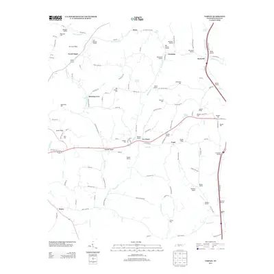
2013 Map of Tarpley
USGS Topo · Published 2013About this map
Powell Chapel and the surrounding highlands of Giles County define this rural landscape south of Pulaski. The terrain is characterized by a dense network of ridges and hollows, such as Hurricane Ridge and Maxwell Hollow, which have influenced the layout of local roads and small settlements for generations. Communities like Aymett Town, Blooming Grove, and Five Points are linked by winding routes like Pisgah Pike and Beech Hill Rd, reflecting a historic pattern of upland farming and close-knit crossroads. Water sources, including Pigeon Roost Cr and Leatherwood Cr, carve through the topography, supporting homesteads near features like Catfarm Spring. This documentation of the area captures the enduring character of Middle Tennessee’s ridge-and-valley geography before modern development patterns fully altered the traditional connections between its namesake hollows and hilltops.
Find a feature on this map
114 named features on this map. Tap any name to fly to it.
Don’t see what you’re looking for? This feature index may not catch every label — zoom into the map to look around manually.
Map Details
Editions of this 2013 Tarpley Map
This is the sole edition of this map. No revisions or reprints were ever made.
Other maps of this area

1936 · Milky Way
USGS Topo · 1:24,000

1936 · Aspen Hill
USGS Topo · 1:24,000

1936 · Cornersville
USGS Topo · 1:24,000

1936 · Brick Church
USGS Topo · 1:24,000

1936 · Pulaski
USGS Topo · 1:24,000

1936 · Tarpley
USGS Topo · 1:24,000

1936 · Elkton
USGS Topo · 1:24,000

1936 · Frankewing
USGS Topo · 1:24,000

1936 · Dellrose
USGS Topo · 1:24,000

1946 · Brick Church
USGS Topo · 1:24,000