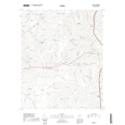
2019 Map of Tarpley
USGS Topo · Published 2019About this map
Aymett Town and Beech Hill anchor a landscape defined by its rolling ridges and numerous family-named landmarks in this rural Tennessee study. The map reveals a dense concentration of historical burial sites, including Powell Chapel Cem, Rocky Mount Cem, and Aymett Cem, which often represent the last visible traces of early family farmsteads. These sites are scattered throughout the winding hollows like Maxwell Hollow and Marks Hollow, where topography dictates the flow of drainage into Leatherwood Cr and Buchanan Cr.
Find a feature on this map
133 named features on this map. Tap any name to fly to it.
Don’t see what you’re looking for? This feature index may not catch every label — zoom into the map to look around manually.
Map Details
Editions of this 2019 Tarpley Map
This is the sole edition of this map. No revisions or reprints were ever made.
Other maps of this area

1936 · Milky Way
USGS Topo · 1:24,000

1936 · Aspen Hill
USGS Topo · 1:24,000

1936 · Cornersville
USGS Topo · 1:24,000

1936 · Brick Church
USGS Topo · 1:24,000

1936 · Pulaski
USGS Topo · 1:24,000

1936 · Tarpley
USGS Topo · 1:24,000

1936 · Elkton
USGS Topo · 1:24,000

1936 · Frankewing
USGS Topo · 1:24,000

1936 · Dellrose
USGS Topo · 1:24,000

1946 · Brick Church
USGS Topo · 1:24,000