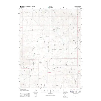
2013 Map of Tarryall
USGS Topo · Published 2013About this map
Tarryall is situated along the winding course of Tarryall Cr, serving as a central point in this high-altitude landscape of Park County. The area is defined by sharp elevation changes, anchored by notable summits such as Pilot Peak and China Wall to the north, and Tappan Mountain toward the east. This 2013 survey illustrates the sparse, ranch-centric settlement pattern characteristic of the region, featuring Landis Ranch and Wartings Ranch connected by a network of forest and county roads.
Find a feature on this map
47 named features on this map. Tap any name to fly to it.
Don’t see what you’re looking for? This feature index may not catch every label — zoom into the map to look around manually.
Map Details
Editions of this 2013 Tarryall Map
This is the sole edition of this map. No revisions or reprints were ever made.
Other maps of this area
1893 · Platte Canyon
USGS Topo · 1:125,000
1894 · Pikes Peak
USGS Topo · 1:125,000
1901 · Pikes Peak
USGS Topo · 1:125,000
1953 · Denver
USGS Topo · 1:250,000
1954 · Pueblo
USGS Topo · 1:250,000
1956 · Mc Curdy Mountain
USGS Topo · 1:24,000
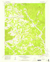
1956 · Tarryall
USGS Topo · 1:24,000
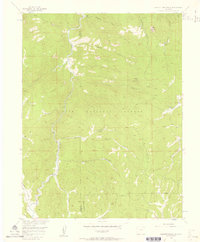
1956 · Hackett Mountain
USGS Topo · 1:24,000
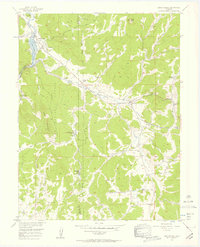
1956 · Lake George
USGS Topo · 1:24,000
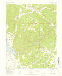
1956 · Elevenmile Canyon
USGS Topo · 1:24,000