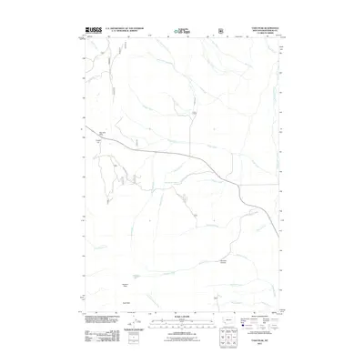
2011 Map of Tash Peak
USGS Topo · Published 2011About this map
Big Hole Pass and Carroll Hill mark the western landscape of this Beaverhead County region, where a complex network of mountain drainages defines the local geography. The area's ranching heritage is anchored by the Circle-S Ranch, situated near the confluence of Krueger Creek and Picket Creek. The eastern portion of the map is dominated by the course of Grasshopper Creek, which flows north-to-south, gathering waters from tributaries like Divide Creek and Middle Creek. To the south, high-altitude terrain rises toward Harrison Peak and Tash Peak, overlooking the headwaters of Harrison Creek and Harrison Lake. A series of Forest Service roads, including Wakefield Canyon Rd, provide access through the canyons and across the prominent ridges that divide these numerous watersheds.
Find a feature on this map
43 named features on this map. Tap any name to fly to it.
Don’t see what you’re looking for? This feature index may not catch every label — zoom into the map to look around manually.
Map Details
Editions of this 2011 Tash Peak Map
This is the sole edition of this map. No revisions or reprints were ever made.
Other maps of this area

1955 · Dillon
USGS Topo · 1:250,000

1957 · Dillon
USGS Topo · 1:250,000

1958 · Dillon
USGS Topo · 1:250,000
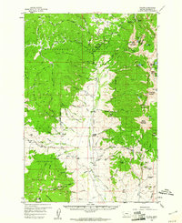
1959 · Polaris
USGS Topo · 1:62,500
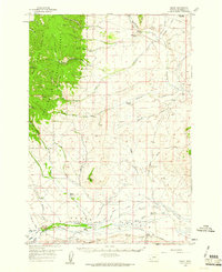
1959 · Grant
USGS Topo · 1:62,500

1962 · Dillon
USGS Topo · 1:250,000
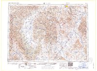
1965 · Dillon
USGS Topo · 1:250,000
1978 · Butch Hill
USGS Topo · 1:24,000
1978 · Jackson Hill
USGS Topo · 1:24,000
1981 · Salmon
USGS Topo · 1:100,000