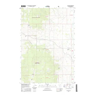
2017 Map of Tash Peak
USGS Topo · Published 2017About this map
Tash Peak and Harrison Peak dominate the high-elevation landscape of Beaverhead County in this modern survey. The map details the complex drainage systems that define the area, where the Big Hole Divide separates the western watersheds from the eastern basins of the Grasshopper Valley. High-country water features like Harrison Lake and numerous creeks, including Rock Cr and Wakefield Cr, illustrate the seasonal hydrology of the Beaverhead National Forest.
Find a feature on this map
41 named features on this map. Tap any name to fly to it.
Don’t see what you’re looking for? This feature index may not catch every label — zoom into the map to look around manually.
Map Details
Editions of this 2017 Tash Peak Map
This is the sole edition of this map. No revisions or reprints were ever made.
Other maps of this area

1955 · Dillon
USGS Topo · 1:250,000

1957 · Dillon
USGS Topo · 1:250,000

1958 · Dillon
USGS Topo · 1:250,000
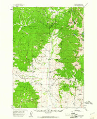
1959 · Polaris
USGS Topo · 1:62,500
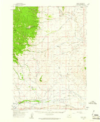
1959 · Grant
USGS Topo · 1:62,500

1962 · Dillon
USGS Topo · 1:250,000
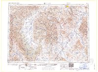
1965 · Dillon
USGS Topo · 1:250,000
1978 · Butch Hill
USGS Topo · 1:24,000
1978 · Jackson Hill
USGS Topo · 1:24,000
1981 · Salmon
USGS Topo · 1:100,000