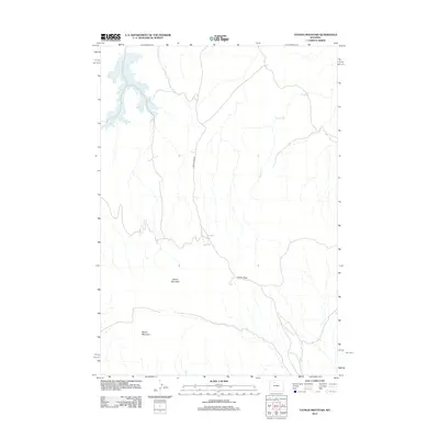
2012 Map of Tatman Mountain
USGS Topo · Published 2012About this map
Tatman Mountain rises as a prominent landmark in this portion of the Bighorn Basin, anchoring a landscape defined by significant elevation changes and ephemeral drainages. The 2012 survey illustrates a sparse network of infrastructure where Fenton Pass Rd provides the primary north-south passage through the area, crossing the terrain at Fenton Pass. This high-desert environment is characterized by dissected badlands and plateaus, including Sheets Mountain to the southwest. Water resources are limited to seasonal flows such as Willow Cr, which drains the northern slopes. The map reflects a remote corner of Wyoming where the traditional rangeland remains largely undisturbed by modern development, preserving the geographic relationships between these named peaks and the historical routes that navigate them.
Find a feature on this map
5 named features on this map. Tap any name to fly to it.
Don’t see what you’re looking for? This feature index may not catch every label — zoom into the map to look around manually.
Map Details
Editions of this 2012 Tatman Mountain Map
This is the sole edition of this map. No revisions or reprints were ever made.
Other maps of this area
1951 · Burlington
USGS Topo · 1:24,000
1951 · Y U Bench NW
USGS Topo · 1:24,000
1951 · Y U Bench NE
USGS Topo · 1:24,000
1951 · Sheep Mountain
USGS Topo · 1:24,000
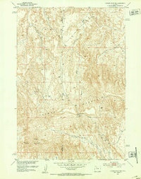
1951 · Tatman Mountain
USGS Topo · 1:24,000
1951 · Sheets Flat
USGS Topo · 1:24,000
1951 · Wilson Spring
USGS Topo · 1:24,000
1951 · Dead Indian Hill
USGS Topo · 1:24,000
1951 · Dutch Nick Flat NW
USGS Topo · 1:24,000

1955 · Cody
USGS Topo · 1:250,000