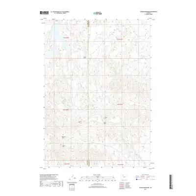
2017 Map of Tatman Mountain
USGS Topo · Published 2017About this map
The high, dissected plateau of Tatman Mtn dominates this portion of the Bighorn Basin, where the border between Park County and Big Horn County cuts a straight line through the drainage network. This high ground separates several deeply etched ephemeral waterways, including Roach Gulch to the north and the complex systems of Fenton Draw and Blackburn Gulch to the south. The landform of Sheets Mtn stands as another prominent topographical feature in this arid landscape. Transport through the broken terrain is channeled through natural gaps like Fenton Pass, a critical point for crossing the ridgelines that define this territory. Water is scarce, marked only by the presence of Willow Cr in the northeastern corner, indicating a landscape shaped by seasonal runoff rather than permanent flows.
Find a feature on this map
14 named features on this map. Tap any name to fly to it.
Don’t see what you’re looking for? This feature index may not catch every label — zoom into the map to look around manually.
Map Details
Editions of this 2017 Tatman Mountain Map
This is the sole edition of this map. No revisions or reprints were ever made.
Other maps of this area
1951 · Burlington
USGS Topo · 1:24,000
1951 · Y U Bench NW
USGS Topo · 1:24,000
1951 · Y U Bench NE
USGS Topo · 1:24,000
1951 · Sheep Mountain
USGS Topo · 1:24,000
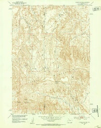
1951 · Tatman Mountain
USGS Topo · 1:24,000
1951 · Sheets Flat
USGS Topo · 1:24,000
1951 · Wilson Spring
USGS Topo · 1:24,000
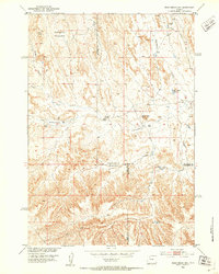
1951 · Dead Indian Hill
USGS Topo · 1:24,000
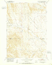
1951 · Dutch Nick Flat NW
USGS Topo · 1:24,000

1955 · Cody
USGS Topo · 1:250,000