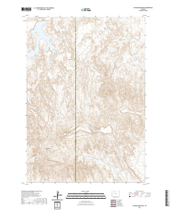
2021 Map of Tatman Mountain
USGS Topo · Published 2021About this map
Tatman Mtn and Sheets Mtn dominate this high-desert landscape in the Bighorn Basin, where complex erosion patterns have carved a network of deep drainages. The area is defined by sharp elevation changes, particularly around Fenton Pass and the steep descent into Fenton Draw. This 2021 survey illustrates the remote character of the boundary between Park and Big Horn counties, showing a land primarily utilized for its topographic relief rather than dense settlement. Water, though scarce, is traced through ephemeral systems like Willow Cr and the deep cuts of Roach Gulch and Blackburn Gulch. The absence of developed towns emphasizes the area's role as a rugged corridor within the larger Wyoming range-land system, marked only by the essential survey lines of the Public Land Survey System.
Find a feature on this map
14 named features on this map. Tap any name to fly to it.
Don’t see what you’re looking for? This feature index may not catch every label — zoom into the map to look around manually.
Map Details
Editions of this 2021 Tatman Mountain Map
This is the sole edition of this map. No revisions or reprints were ever made.
Other maps of this area

1951 · Burlington
USGS Topo · 1:24,000

1951 · Y U Bench NW
USGS Topo · 1:24,000

1951 · Y U Bench NE
USGS Topo · 1:24,000

1951 · Sheep Mountain
USGS Topo · 1:24,000

1951 · Tatman Mountain
USGS Topo · 1:24,000

1951 · Sheets Flat
USGS Topo · 1:24,000

1951 · Wilson Spring
USGS Topo · 1:24,000

1951 · Dead Indian Hill
USGS Topo · 1:24,000

1951 · Dutch Nick Flat NW
USGS Topo · 1:24,000

1955 · Cody
USGS Topo · 1:250,000