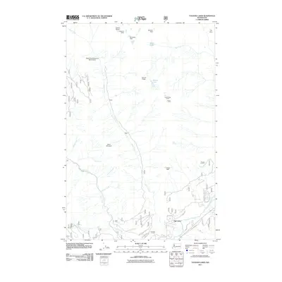
2011 Map of Tatoosh Lakes
USGS Topo · Published 2011About this map
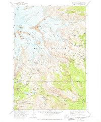
High Valley sits along the southern edge of this Lewis County landscape, serving as a primary point of human settlement amidst a network of high-elevation peaks and glacial features. To the north, the alpine environment is defined by Unicorn Peak, Stevens Peak, and the Unicorn Glacier, with the Butter Creek Research Natural Area preserving a significant corridor of the local watershed. The drainage of Butler Creek and Skate Creek dominates the central topography, flowing south toward the Cowlitz River.
Find a feature on this map
35 named features on this map. Tap any name to fly to it.
Don’t see what you’re looking for? This feature index may not catch every label — zoom into the map to look around manually.
Map Details
Editions of this 2011 Tatoosh Lakes Map
This is the sole edition of this map. No revisions or reprints were ever made.
Other maps of this area
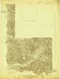
1924 · Mt Rainier
USGS Topo · 1:96,000
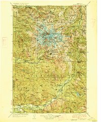
1928 · Mt Rainier
USGS Topo · 1:125,000

1950 · Yakima
USGS Topo · 1:250,000

1958 · Yakima
USGS Topo · 1:250,000
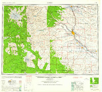
1961 · Yakima
USGS Topo · 1:250,000
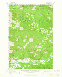
1962 · Randle
USGS Topo · 1:62,500
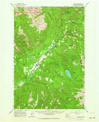
1962 · Packwood
USGS Topo · 1:62,500
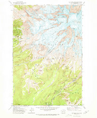
1971 · Mt Rainier West
USGS Topo · 1:24,000
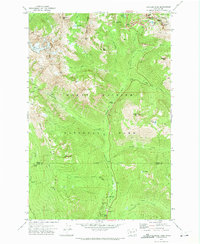
1971 · Chinook Pass
USGS Topo · 1:24,000
1971 · Mt Rainier East
USGS Topo · 1:24,000