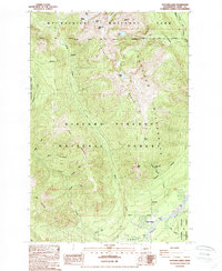
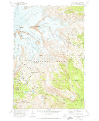
1989 Map of Tatoosh Lakes
USGS Topo · Published 1989About this map
Mt Rainier National Park borders the northern edge of this landscape, where high-altitude features like Unicorn Glacier and Unicorn Peak define the upper elevations. The Tatoosh Range cuts through the center of the quadrangle, serving as a divide between the drainages of Butter Creek and Stevens Creek. This high country is largely protected within the Tatoosh Wilderness, while the lower southern slopes are managed as part of the Gifford Pinchot National Forest.
Find a feature on this map
46 named features on this map. Tap any name to fly to it.
Don’t see what you’re looking for? This feature index may not catch every label — zoom into the map to look around manually.
Map Details
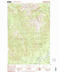
Editions of this 1989 Tatoosh Lakes Map
2 editions found
Other maps of this area

1924 · Mt Rainier
USGS Topo · 1:96,000

1928 · Mt Rainier
USGS Topo · 1:125,000

1950 · Yakima
USGS Topo · 1:250,000

1958 · Yakima
USGS Topo · 1:250,000

1961 · Yakima
USGS Topo · 1:250,000

1962 · Randle
USGS Topo · 1:62,500

1962 · Packwood
USGS Topo · 1:62,500
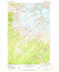
1971 · Mt Rainier West
USGS Topo · 1:24,000
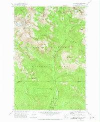
1971 · Chinook Pass
USGS Topo · 1:24,000
1971 · Mt Rainier East
USGS Topo · 1:24,000