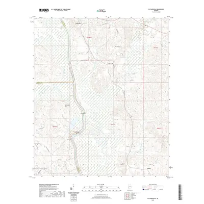
2020 Map of Tattlersville
USGS Topo · Published 2020About this map
The Tombigbee River snakes through the heart of this southwest Alabama landscape, forming the boundary between Choctaw, Washington, and Clarke Counties. The river's winding course is marked by distinctive features such as Rock Bluff, Hazzards Bar, and Hatchettigbee Bar, reflecting a landscape shaped by river navigation and commerce. To the west, the Hatchettigbee Hills rise above the bottomlands, while the settlements of Coffeeville and Tattlersville anchor the local road network.
Find a feature on this map
48 named features on this map. Tap any name to fly to it.
Don’t see what you’re looking for? This feature index may not catch every label — zoom into the map to look around manually.
Map Details
Editions of this 2020 Tattlersville Map
This is the sole edition of this map. No revisions or reprints were ever made.
Other maps of this area

1953 · Andalusia
USGS Topo · 1:250,000

1953 · Hattiesburg
USGS Topo · 1:250,000

1957 · Andalusia
USGS Topo · 1:250,000

1958 · Hattiesburg
USGS Topo · 1:250,000

1971 · Bigbee
USGS Topo · 1:24,000

1971 · Coffeeville
USGS Topo · 1:24,000

1971 · Bladon Springs
USGS Topo · 1:24,000

1971 · Coffeeville Lock And Dam
USGS Topo · 1:24,000

1972 · Tattlersville
USGS Topo · 1:24,000

1972 · St. Stephens
USGS Topo · 1:24,000