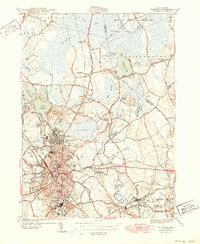
1944 Map of Taunton
USGS Topo · Published 1949About this map
Taunton sits at the heart of this post-war landscape, where the Taunton River and Mill River converge amidst a dense network of industry and civic institutions. The map captures the city at a point of high density, featuring prominent landmarks like the Taunton Insane Hospital, the Court House, and the Common. To the north, the massive Hockomock Swamp and Lake Nippenicket dominate the terrain, contrasting with the developed clusters of Whittenton and Raynham Center.
Find a feature on this map
92 named features on this map. Tap any name to fly to it.
Don’t see what you’re looking for? This feature index may not catch every label — zoom into the map to look around manually.
Map Details
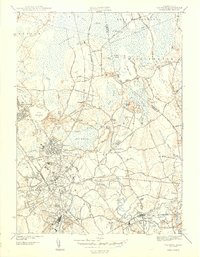
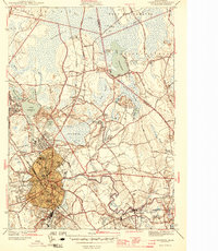
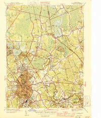
Editions of this 1944 Taunton Map
4 editions found
Other maps of this area

1885 · Abington
USGS Topo · 1:62,500

1885 · Middleboro
USGS Topo · 1:62,500

1885 · Taunton
USGS Topo · 1:62,500

1886 · Dedham
USGS Topo · 1:62,500

1888 · Taunton
USGS Topo · 1:62,500

1888 · Middleboro
USGS Topo · 1:62,500

1888 · Abington
USGS Topo · 1:62,500

1893 · Abington
USGS Topo · 1:62,500

1893 · Taunton
USGS Topo · 1:62,500

1893 · Middleboro
USGS Topo · 1:62,500