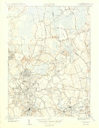
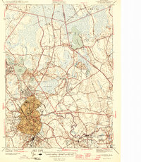
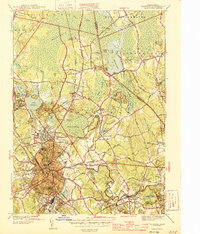
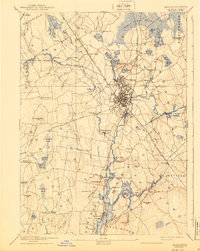
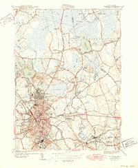
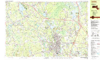
1944 Map of Taunton
USGS Topo · Published 1944About this map
Camp Miles Standish and the sprawling Hockomock Swamp dominate the northern landscape of this mid-century survey. The area reveals a complex network of industrial and civic life, centered on the Taunton River and the convergence of the New York New Haven and Hartford railroad lines at Whittenton Junction. Beyond the dense urban core of Taunton, the map details established neighborhoods like Whittenton, Brittannia, and Weir Village.
Find a feature on this map
70 named features on this map. Tap any name to fly to it.
Don’t see what you’re looking for? This feature index may not catch every label — zoom into the map to look around manually.
Map Details
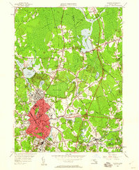
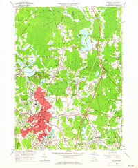
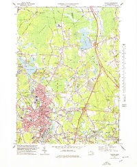
Editions of this 1944 Taunton Map
4 editions found
Historical Maps of Weir Village Through Time
12 maps found

1885 Taunton
Bristol County, MA

1888 Taunton
Bristol County, MA
1893 Taunton
Bristol County, MA

1918 Taunton
Bristol County, MA
1944 Taunton
Bristol County, MA
1949 Taunton
Bristol County, MA
1962 Taunton
Bristol County, MA

1977 Taunton
Bristol County, MA
1978 Taunton
Bristol County, MA

1979 Taunton
Bristol County, MA
1987 Taunton
Bristol County, MA
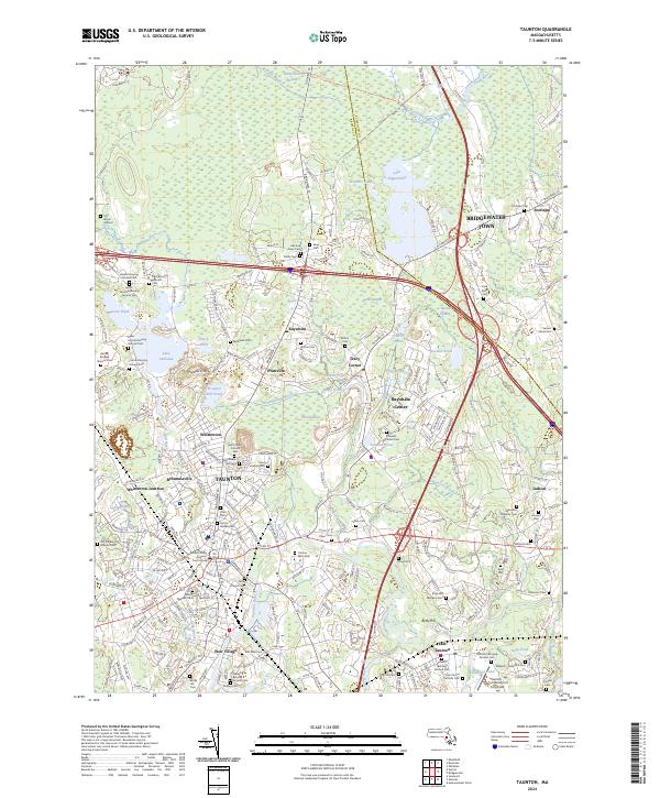
2024 Taunton
Bristol County, MA