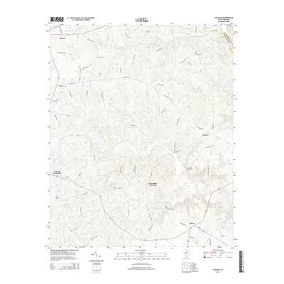
2014 Map of Taxahaw
USGS Topo · Published 2014About this map
Fourty-Acre Rock anchors the central landscape of this South Carolina quadrangle, sitting amidst a network of rural crossroads and established family settlements. The map documents the persistent rural character of the region, from the northern hamlet of Buford to the southern community of Midway. Local history is embedded in the road names, including Oak Hill Church Rd and Palmer Lloyd Rd, which connect the small clusters of activity at Fork Hill Crossroads and White Bluff Corssroads. The presence of Mining Rd and Mineral Mining Rd north of Lick Cr suggests a history of local resource extraction. Waterways such as Wildcat Creek and Flat Cr provide the primary drainage for this area straddling the Lancaster and Chesterfield county line.
Find a feature on this map
81 named features on this map. Tap any name to fly to it.
Don’t see what you’re looking for? This feature index may not catch every label — zoom into the map to look around manually.
Map Details
Editions of this 2014 Taxahaw Map
This is the sole edition of this map. No revisions or reprints were ever made.
Other maps of this area

1941 · Spartanburg
USGS Topo · 1:250,000

1953 · Spartanburg
USGS Topo · 1:250,000

1960 · Spartanburg
USGS Topo · 1:250,000

1963 · Spartanburg
USGS Topo · 1:250,000

1964 · Spartanburg
USGS Topo · 1:250,000

1967 · Mount Pisgah
USGS Topo · 1:24,000

1968 · Heath Springs
USGS Topo · 1:24,000

1968 · Jefferson
USGS Topo · 1:24,000
1969 · Kershaw
USGS Topo · 1:24,000

1969 · Antioch
USGS Topo · 1:24,000