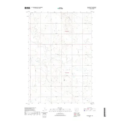
2017 Map of Taylor Butte
USGS Topo · Published 2017About this map
Taylor Butte rises above the drainage networks of Adams County, serving as a prominent topographic landmark in a landscape defined by its prairie waterways. This 2017 survey details the complex hydrography of the region, where Ross Slough and various tributaries like Cedar Creek, Spring Cr, and Goose Cr carve winding paths through the terrain. The map illustrates a strictly organized section line road system, including routes such as 18th Ave NE and 2nd St NE, which reflect the enduring influence of the Public Land Survey System on North Dakota's rural geography.
Find a feature on this map
25 named features on this map. Tap any name to fly to it.
Don’t see what you’re looking for? This feature index may not catch every label — zoom into the map to look around manually.
Map Details
Editions of this 2017 Taylor Butte Map
This is the sole edition of this map. No revisions or reprints were ever made.
Other maps of this area
1953 · Dickinson
USGS Topo · 1:250,000
1957 · Dickinson
USGS Topo · 1:250,000
1966 · Mott SW
USGS Topo · 1:24,000
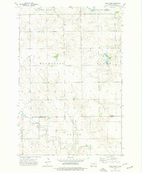
1973 · Liens Dams
USGS Topo · 1:24,000
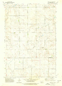
1973 · Abbey Hill
USGS Topo · 1:24,000
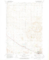
1974 · Hettinger North
USGS Topo · 1:24,000
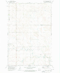
1974 · Pearl Butte NW
USGS Topo · 1:24,000
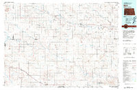
1980 · Mott
USGS Topo · 1:100,000
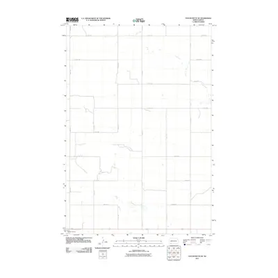
2011 · Taylor Butte SE
USGS Topo · 1:24,000
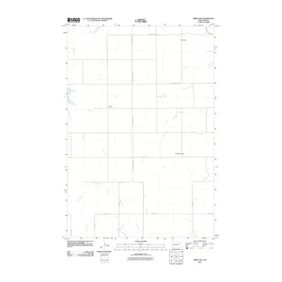
2011 · Abbey Hill
USGS Topo · 1:24,000