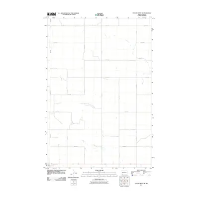
2011 Map of Taylor Butte SE
USGS Topo · Published 2011About this map
Duck Creek meanders across this rural section of Adams County, carving a subtle drainage pattern through the high plains of southwestern North Dakota. The landscape is defined by the rigid geometry of the Public Land Survey System, with gravel and section-line roads like 9th Ave NE and 5th St NE forming a nearly perfect grid across the prairie. This spatial organization reflects the late 19th and early 20th-century settlement patterns of the region, where land was divided for agricultural use. In the southwestern corner, the Hettinger Cemetery serves as a significant local landmark, anchoring the area's genealogical history. The sparse distribution of named features on this 2011 survey underscores the open, agrarian character of the territory surrounding the county seat.
Find a feature on this map
16 named features on this map. Tap any name to fly to it.
Don’t see what you’re looking for? This feature index may not catch every label — zoom into the map to look around manually.
Map Details
Editions of this 2011 Taylor Butte SE Map
This is the sole edition of this map. No revisions or reprints were ever made.
Other maps of this area

1953 · Dickinson
USGS Topo · 1:250,000

1954 · Lemmon
USGS Topo · 1:250,000

1957 · Dickinson
USGS Topo · 1:250,000

1957 · Lemmon
USGS Topo · 1:250,000

1974 · Hettinger North
USGS Topo · 1:24,000

1974 · Hettinger South
USGS Topo · 1:24,000

1974 · Pearl Butte NW
USGS Topo · 1:24,000

1974 · Kid Rich Butte
USGS Topo · 1:24,000

1974 · Haynes
USGS Topo · 1:24,000

1980 · Mott
USGS Topo · 1:100,000