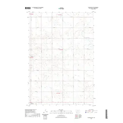
2020 Map of Taylor Butte SE
USGS Topo · Published 2020About this map
Hettinger occupies the southwestern corner of this survey, serving as a primary hub for the surrounding agricultural plains of Adams County. The town site is clearly anchored by the Hettinger Cem, located along Cemetery Rd, and a grid of rural routes including 1st St E. The terrain is characterized by the prominent elevation of Rocky Ridge in the west and the meandering path of Duck Cr to the northeast. This 2020 landscape reveals the enduring systematic organization of the Public Land Survey System, with a dense network of numerical avenues and streets such as 9th Ave NE and 2nd St NE dividing the land into precise sections. The arrangement of these roads reflects the modern infrastructure supporting the wheat farming and ranching operations typical of the North Dakota prairies.
Find a feature on this map
26 named features on this map. Tap any name to fly to it.
Don’t see what you’re looking for? This feature index may not catch every label — zoom into the map to look around manually.
Map Details
Editions of this 2020 Taylor Butte SE Map
This is the sole edition of this map. No revisions or reprints were ever made.
Other maps of this area

1953 · Dickinson
USGS Topo · 1:250,000

1954 · Lemmon
USGS Topo · 1:250,000

1957 · Dickinson
USGS Topo · 1:250,000

1957 · Lemmon
USGS Topo · 1:250,000

1974 · Hettinger North
USGS Topo · 1:24,000

1974 · Hettinger South
USGS Topo · 1:24,000

1974 · Pearl Butte NW
USGS Topo · 1:24,000

1974 · Kid Rich Butte
USGS Topo · 1:24,000

1974 · Haynes
USGS Topo · 1:24,000

1980 · Mott
USGS Topo · 1:100,000