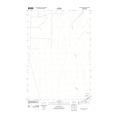
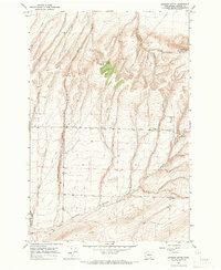
2011 Map of Taylor Canyon
USGS Topo · Published 2011About this map
Taylor Canyon and the surrounding drainage systems define this section of the Washington landscape as it appeared in the early 21st century. The map reveals an area structured by large-scale agricultural and ranching infrastructure, most notably evidenced by the presence of the Coffin Sheep Dam Number Three near the southern boundary. Steep-walled coulees and canyons, including Coyote Canyon and Prospect Canyon, provide significant topographic relief against the more level upland plateaus.
Find a feature on this map
13 named features on this map. Tap any name to fly to it.
Don’t see what you’re looking for? This feature index may not catch every label — zoom into the map to look around manually.
Map Details
Editions of this 2011 Taylor Canyon Map
This is the sole edition of this map. No revisions or reprints were ever made.
Other maps of this area
1908 · Umatilla
USGS Topo · 1:125,000
1917 · Pasco
USGS Topo · 1:125,000

1953 · Pendleton
USGS Topo · 1:250,000
1953 · Walla Walla
USGS Topo · 1:250,000

1956 · Pendleton
USGS Topo · 1:250,000
1958 · Walla Walla
USGS Topo · 1:250,000
1962 · Hat Rock
USGS Topo · 1:24,000
1962 · Irrigon
USGS Topo · 1:24,000
1962 · Umatilla
USGS Topo · 1:24,000
1964 · Johnson Butte
USGS Topo · 1:24,000