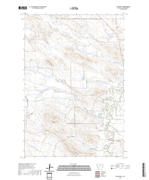
2024 Map of Taylor Hills
USGS Topo · Published 2024About this map
Taylor Hills dominate the central landscape of this Carter County quadrangle, where a network of draws and seasonal creeks carves through the high plains. The southeastern corner of the map marks the site of Belltower, situated along Lone Tree Rd near the winding course of Boxelder Creek. The hydrology here is complex, defined by the Dead Boy Divide which separates the North Fork Dead Boy Creek drainage from northern-flowing waters like Big Ramme Creek and Buffalo Creek. This area illustrates a typical eastern Montana ranching landscape, where early transportation routes like McCabe Rd follow the natural contours of the land. The presence of features such as Keltner Draw and Horsetrack Draw highlights the erosion-carved terrain that has shaped settlement and movement in this part of the state.
Find a feature on this map
20 named features on this map. Tap any name to fly to it.
Don’t see what you’re looking for? This feature index may not catch every label — zoom into the map to look around manually.
Map Details
Editions of this 2024 Taylor Hills Map
This is the sole edition of this map. No revisions or reprints were ever made.
Other maps of this area

1954 · Ekalaka
USGS Topo · 1:250,000

1956 · Ekalaka
USGS Topo · 1:250,000

1958 · Ekalaka
USGS Topo · 1:250,000

1965 · Ekalaka
USGS Topo · 1:250,000

1979 · Dead Boy Divide
USGS Topo · 1:24,000

1979 · Ikey Creek
USGS Topo · 1:24,000

1980 · Taylor Hills
USGS Topo · 1:24,000

1980 · Belltower
USGS Topo · 1:24,000

1980 · Belltower Butte
USGS Topo · 1:24,000

1980 · Camp Needmore
USGS Topo · 1:24,000