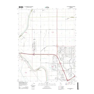
2015 Map of Taylor Monument
USGS Topo · Published 2015About this map
The Sacramento River meanders along the western edge of this landscape, defining the boundary between Sacramento and Yolo counties. This 2015 edition captures a complex hydrological network within the American Basin, where engineered waterways like the North Drainage Canal, West Drainage Canal, and N Main Canal manage the low-lying terrain of the Central Valley. Along the river's path, traditional landing points and bars such as Twelvemile Bar and Tenmile Shoals are noted, adjacent to the historic rail sidings of Kiesel and Beatrice.
Find a feature on this map
144 named features on this map. Tap any name to fly to it.
Don’t see what you’re looking for? This feature index may not catch every label — zoom into the map to look around manually.
Map Details
Editions of this 2015 Taylor Monument Map
This is the sole edition of this map. No revisions or reprints were ever made.
Other maps of this area

1891 · Sacramento
USGS Topo · 1:125,000

1892 · Sacramento
USGS Topo · 1:125,000

1893 · Sacramento
USGS Topo · 1:125,000

1902 · Fairoaks
USGS Topo · 1:62,500

1907 · Davisville
USGS Topo · 1:62,500

1910 · Knights Landing
USGS Topo · 1:31,680

1910 · Vernon
USGS Topo · 1:31,680

1910 · Pleasant Grove
USGS Topo · 1:31,680

1911 · Brighton
USGS Topo · 1:31,680

1911 · Arcade
USGS Topo · 1:31,680