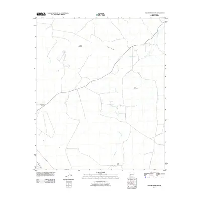
2010 Map of Taylor Mountain
USGS Topo · Published 2010About this map
The Mimbres River drainage defines the center of this high-desert landscape in Luna County, where the settlement of Old Town stands as a focal point near the intersection of several local routes like County Rd-A010. The terrain is marked by prominent elevations, including Taylor Mountain and Table Mountain, which overlook a network of seasonal watercourses like Lampbright Draw and Cold Water Creek. Distinctive natural landmarks such as the City of Rocks Arch and the geothermal waters at Faywood Hot Springs highlight the unique geological character of the region. Local land use is characterized by large holdings such as the Tigner Ranch, illustrating the ranching economy that has long shaped this part of New Mexico.
Find a feature on this map
17 named features on this map. Tap any name to fly to it.
Don’t see what you’re looking for? This feature index may not catch every label — zoom into the map to look around manually.
Map Details
Editions of this 2010 Taylor Mountain Map
This is the sole edition of this map. No revisions or reprints were ever made.
Other maps of this area

1899 · Deming
USGS Topo · 1:125,000

1909 · Silver City
USGS Topo · 1:125,000

1915 · Deming
USGS Topo · 1:125,000

1947 · Faywood Station
USGS Topo · 1:24,000

1948 · Hurley East
USGS Topo · 1:24,000

1949 · Hurley East
USGS Topo · 1:24,000

1949 · Faywood Station
USGS Topo · 1:24,000

1954 · Silver City
USGS Topo · 1:250,000

1955 · Las Cruces
USGS Topo · 1:250,000

1956 · Dwyer
USGS Topo · 1:62,500