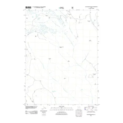
2011 Map of Taylor Mountain
USGS Topo · Published 2011About this map
Taylor Mountain and its high-elevation terrain are the focal points of this 2011 survey of northeastern Utah. The landscape is defined by the headwaters of numerous drainages, including the North Fork Ashley Creek and South Fork Ashley Creek, which carve through the plateau. Evidence of seasonal land use is present in features like Hicks Park Corral and Galloway Corral, while the provocative name Death of James Meadow suggests a specific historical event or local lore tied to the area's pioneer past.
Find a feature on this map
26 named features on this map. Tap any name to fly to it.
Don’t see what you’re looking for? This feature index may not catch every label — zoom into the map to look around manually.
Map Details
Editions of this 2011 Taylor Mountain Map
This is the sole edition of this map. No revisions or reprints were ever made.
Other maps of this area
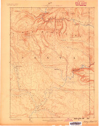
1885 · Ashley
USGS Topo · 1:250,000
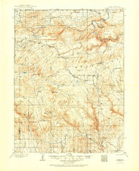
1906 · Marsh Peak
USGS Topo · 1:125,000
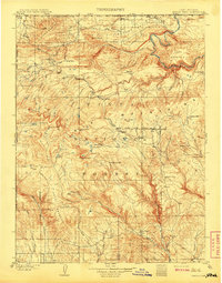
1908 · Marsh Peak
USGS Topo · 1:125,000
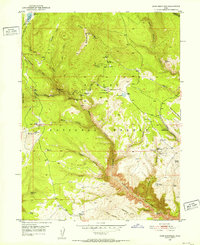
1950 · Dyer Mountain
USGS Topo · 1:24,000

1954 · Vernal
USGS Topo · 1:250,000

1958 · Vernal
USGS Topo · 1:250,000

1960 · Vernal
USGS Topo · 1:250,000
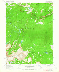
1963 · Leidy Peak
USGS Topo · 1:24,000
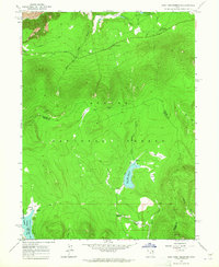
1963 · East Park Reservoir
USGS Topo · 1:24,000
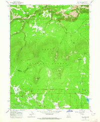
1963 · Elk Park
USGS Topo · 1:24,000