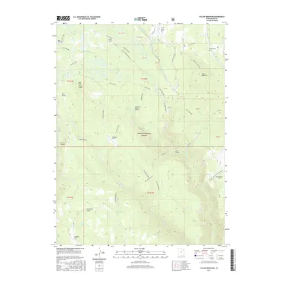
2017 Map of Taylor Mountain
USGS Topo · Published 2017About this map
Ashley National Forest dominates this high-altitude landscape in the Uinta Mountains, where a network of forest roads and trails traverses a series of alpine parks and meadows. The terrain is defined by prominent summits such as Taylor Mountain and Frenches Peak, with the hydrology of the region marked by numerous springs and small alpine lakes, including Lily Pad Lake and Alma Taylor Lake. This 2017 survey illustrates the managed wilderness of northeastern Utah, specifically how forest access routes like the Red Cloud Loop and Ashley Driveway connect remote features such as Death of James Meadow and Sims Peak. The area serves as a significant drainage basin for Ashley Creek, with several forks and canyons, including Black Canyon, carving through the high plateau. The map details the transition from forested peaks to more open flats like Grasshopper Flat, providing a contemporary view of this protected recreation area.
Find a feature on this map
51 named features on this map. Tap any name to fly to it.
Don’t see what you’re looking for? This feature index may not catch every label — zoom into the map to look around manually.
Map Details
Editions of this 2017 Taylor Mountain Map
This is the sole edition of this map. No revisions or reprints were ever made.
Other maps of this area
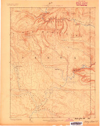
1885 · Ashley
USGS Topo · 1:250,000
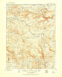
1906 · Marsh Peak
USGS Topo · 1:125,000
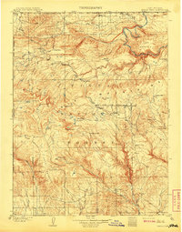
1908 · Marsh Peak
USGS Topo · 1:125,000
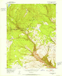
1950 · Dyer Mountain
USGS Topo · 1:24,000

1954 · Vernal
USGS Topo · 1:250,000

1958 · Vernal
USGS Topo · 1:250,000

1960 · Vernal
USGS Topo · 1:250,000
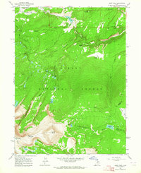
1963 · Leidy Peak
USGS Topo · 1:24,000
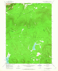
1963 · East Park Reservoir
USGS Topo · 1:24,000
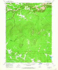
1963 · Elk Park
USGS Topo · 1:24,000