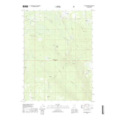
2020 Map of Taylor Mountain
USGS Topo · Published 2020About this map
Taylor Mtn and the high elevations of the Ashley National Forest define this 2020 landscape in Uintah County. The map details a complex drainage network where the N Fork Ashley Cr, S Fork Ashley Cr, and E Galloway converge, supporting remote high-country water features like Lily Pad Lake and Alma Taylor Lake. This modern survey is particularly valuable for its naming of specific, often morbidly titled, local landmarks such as the Death of James Meadow and family-named clearings like Charleys Park and Hicks Park.
Find a feature on this map
40 named features on this map. Tap any name to fly to it.
Don’t see what you’re looking for? This feature index may not catch every label — zoom into the map to look around manually.
Map Details
Editions of this 2020 Taylor Mountain Map
This is the sole edition of this map. No revisions or reprints were ever made.
Other maps of this area
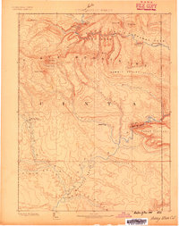
1885 · Ashley
USGS Topo · 1:250,000
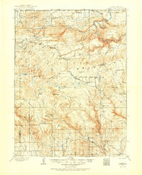
1906 · Marsh Peak
USGS Topo · 1:125,000
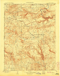
1908 · Marsh Peak
USGS Topo · 1:125,000
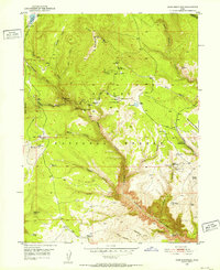
1950 · Dyer Mountain
USGS Topo · 1:24,000

1954 · Vernal
USGS Topo · 1:250,000

1958 · Vernal
USGS Topo · 1:250,000

1960 · Vernal
USGS Topo · 1:250,000
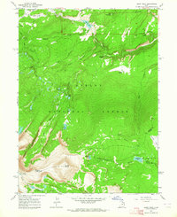
1963 · Leidy Peak
USGS Topo · 1:24,000
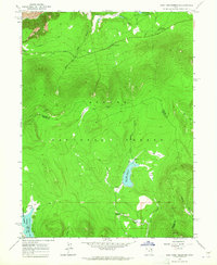
1963 · East Park Reservoir
USGS Topo · 1:24,000
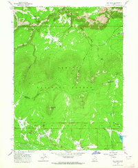
1963 · Elk Park
USGS Topo · 1:24,000