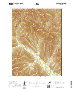
2019 Map of Taylor Mountains C-4 NW
USGS Topo · Published 2019About this map
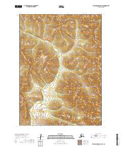
Nushagak Hills define the high terrain of this interior Alaskan landscape, where steep slopes and ridgelines dominate the northern half of the quadrangle. The Chichitnok River carves a winding path through the eastern and southern sections, revealing the hydraulic patterns of a wilderness watershed untouched by permanent development or road infrastructure. In the far northwest corner, the headwaters of Keknik Cr emerge from the uplands, illustrating the complex drainage systems typical of the Dillingham region. This 2019 survey provides a precise look at the natural topography and water courses of these remote ranges, recording the land as it exists in its primary state.
Find a feature on this map
9 named features on this map. Tap any name to fly to it.
Don’t see what you’re looking for? This feature index may not catch every label — zoom into the map to look around manually.
Map Details
Editions of this 2019 Taylor Mountains C-4 NW Map
This is the sole edition of this map. No revisions or reprints were ever made.
Other maps of this area

1950 · Taylor Mountains
USGS Topo · 1:250,000

1951 · Taylor Mountains
USGS Topo · 1:250,000

1954 · Taylor Mountains
USGS Topo · 1:250,000

1954 · Taylor Mountains D-5
USGS Topo · 1:63,360

1954 · Taylor Mountains C-4
USGS Topo · 1:63,360

1954 · Taylor Mountains D-4
USGS Topo · 1:63,360
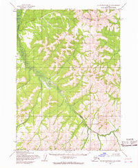
1954 · Taylor Mountains C-5
USGS Topo · 1:63,360
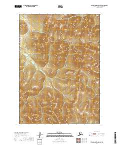
2019 · Taylor Mountains D-4 SW
USGS Topo · 1:25,000
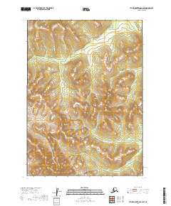
2019 · Taylor Mountains C-4 SW
USGS Topo · 1:25,000
2019 · Taylor Mountains C-4 NE
USGS Topo · 1:25,000