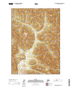
2019 Map of Taylor Mountains C-4 NE
USGS Topo · Published 2019About this map
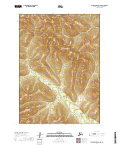
The Chichitnok River snakes through this remote Alaskan landscape, creating a complex drainage network that dominates the terrain. As of 2019, this section of the Taylor Mountains quadrangle remains focused on these natural waterways, showing the river as it winds through several township boundaries including t7n r46w and t7n r45w. To the southeast, the smaller Fifteenmile Cr enters the frame, marking a distinct topographical transition.
Find a feature on this map
8 named features on this map. Tap any name to fly to it.
Don’t see what you’re looking for? This feature index may not catch every label — zoom into the map to look around manually.
Map Details
Editions of this 2019 Taylor Mountains C-4 NE Map
This is the sole edition of this map. No revisions or reprints were ever made.
Other maps of this area

1950 · Taylor Mountains
USGS Topo · 1:250,000

1951 · Taylor Mountains
USGS Topo · 1:250,000

1954 · Taylor Mountains
USGS Topo · 1:250,000
1954 · Taylor Mountains D-3
USGS Topo · 1:63,360

1954 · Taylor Mountains C-4
USGS Topo · 1:63,360

1954 · Taylor Mountains C-3
USGS Topo · 1:63,360

1954 · Taylor Mountains D-4
USGS Topo · 1:63,360
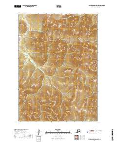
2019 · Taylor Mountains D-4 SW
USGS Topo · 1:25,000
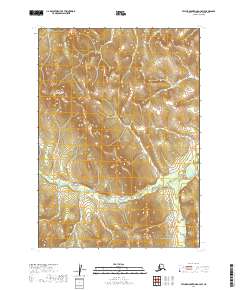
2019 · Taylor Mountains D-3 SW
USGS Topo · 1:25,000
2019 · Taylor Mountains C-4 NW
USGS Topo · 1:25,000