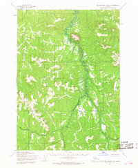
1954 Map of Taylor Mountains D-3
USGS Topo · Published 1968About this map
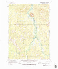
Stuyahok Creek meanders northward through this remote interior landscape, its winding course serving as the primary drainage through a valley flanked by rising slopes. Dominating the central-northern portion of the sheet is Fuller Mountain, a distinct peak that provides a singular vertical landmark in an otherwise undulating terrain. To the southwest, the Little Taylor Mountains begin to rise, defined by elevations that were photogrammetrically mapped in the mid-1950s using aerial photography. This 1954 survey captures a moment in the Seward Meridian region before significant modern development, where land lines represent unsurveyed and unmarked locations predetermined by the Bureau of Land Management. The map illustrates a natural wilderness defined entirely by its topography and water systems, with no roads or trails recorded during the time of field annotation.
Find a feature on this map
3 named features on this map. Tap any name to fly to it.
Don’t see what you’re looking for? This feature index may not catch every label — zoom into the map to look around manually.
Map Details
Editions of this 1954 Taylor Mountains D-3 Map
2 editions found
Other maps of this area

1950 · Sleetmute
USGS Topo · 1:250,000

1950 · Taylor Mountains
USGS Topo · 1:250,000

1951 · Taylor Mountains
USGS Topo · 1:250,000

1954 · Sleetmute
USGS Topo · 1:250,000

1954 · Taylor Mountains
USGS Topo · 1:250,000

1954 · Taylor Mountains C-4
USGS Topo · 1:63,360
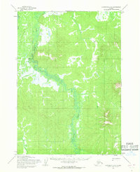
1954 · Sleetmute A-3
USGS Topo · 1:63,360

1954 · Taylor Mountains C-3
USGS Topo · 1:63,360

1954 · Taylor Mountains D-2
USGS Topo · 1:63,360
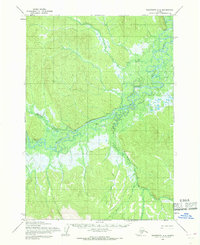
1954 · Sleetmute A-4
USGS Topo · 1:63,360