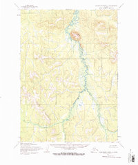
1954 Map of Taylor Mountains D-3
USGS Topo · Published 1968About this map
Fuller Mountain dominates the northern landscape of this mid-century survey, rising above the winding path of Taylor Creek. The watercourse meanders through a broad valley of wetlands and complex drainage patterns, serving as the central geographic feature of the region. To the southwest, the Little Taylor Mountains create a distinct upland boundary. This 1:63,360 scale study, based on 1955 aerial photography and 1954 field annotations, captures an era of primary mapping in the Alaska interior where no roads or trails were yet recorded. The topographic detail reflects a raw, undeveloped wilderness, with land lines representing unsurveyed and unmarked locations as predetermined by the Bureau of Land Management.
Find a feature on this map
3 named features on this map. Tap any name to fly to it.
Don’t see what you’re looking for? This feature index may not catch every label — zoom into the map to look around manually.
Map Details
Editions of this 1954 Taylor Mountains D-3 Map
2 editions found
Other maps of this area

1950 · Sleetmute
USGS Topo · 1:250,000

1950 · Taylor Mountains
USGS Topo · 1:250,000

1951 · Taylor Mountains
USGS Topo · 1:250,000

1954 · Sleetmute
USGS Topo · 1:250,000

1954 · Taylor Mountains
USGS Topo · 1:250,000
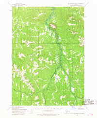
1954 · Taylor Mountains D-3
USGS Topo · 1:63,360

1954 · Taylor Mountains C-4
USGS Topo · 1:63,360
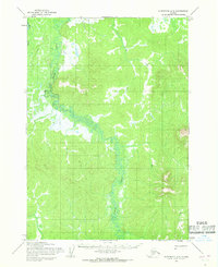
1954 · Sleetmute A-3
USGS Topo · 1:63,360

1954 · Taylor Mountains C-3
USGS Topo · 1:63,360

1954 · Taylor Mountains D-2
USGS Topo · 1:63,360