
1954 Map of Taylor Mountains C-3
USGS Topo · Published 1968About this map
Nushagak drainage terrain dominates this mid-century survey of the Taylor Mountains (C-3) quadrangle. Compiled from 1955 aerial photography by the Army Map Service, the map documents a landscape defined by sharp elevation shifts and intricate watercourses including Fifteenmile and Cabin Creek. The Nushagak labels indicate the broader watershed system that shapes the topography here, where land lines remain largely unsurveyed and unmarked according to the Bureau of Land Management. This 1954 edition reflects the era's technical mapping of the Alaska interior, prioritizing the exact recording of natural hydrology and peaks before significant human infrastructure reached this section of the Seward Meridian.
Find a feature on this map
4 named features on this map. Tap any name to fly to it.
Don’t see what you’re looking for? This feature index may not catch every label — zoom into the map to look around manually.
Map Details
Editions of this 1954 Taylor Mountains C-3 Map
This is the sole edition of this map. No revisions or reprints were ever made.
Other maps of this area

1950 · Taylor Mountains
USGS Topo · 1:250,000

1951 · Taylor Mountains
USGS Topo · 1:250,000

1954 · Taylor Mountains
USGS Topo · 1:250,000
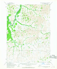
1954 · Taylor Mountains B-2
USGS Topo · 1:63,360
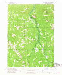
1954 · Taylor Mountains D-3
USGS Topo · 1:63,360

1954 · Taylor Mountains C-4
USGS Topo · 1:63,360

1954 · Taylor Mountains D-2
USGS Topo · 1:63,360

1954 · Taylor Mountains D-4
USGS Topo · 1:63,360
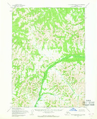
1954 · Taylor Mountains C-2
USGS Topo · 1:63,360
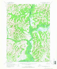
1954 · Taylor Mountains B-4
USGS Topo · 1:63,360