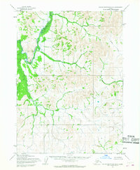
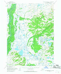
1954 Map of Taylor Mountains B-2
USGS Topo · Published 1968About this map
The Nushagak River defines the western corridor of this mid-century Alaskan landscape, snaking through a broad drainage marked by the prominent Big Bend. This interior region, mapped from aerial photographs taken between 1953 and 1955, shows a wilderness primarily connected by its waterways. Evidence of seasonal use or remote habitation appears as isolated Cabin sites along the riverbank, serving as critical landmarks for travel and subsistence in an area without established roads.
Find a feature on this map
7 named features on this map. Tap any name to fly to it.
Don’t see what you’re looking for? This feature index may not catch every label — zoom into the map to look around manually.
Map Details
Editions of this 1954 Taylor Mountains B-2 Map
2 editions found
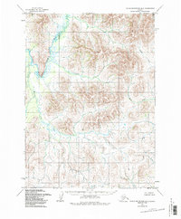
Other maps of this area

1950 · Taylor Mountains
USGS Topo · 1:250,000

1951 · Taylor Mountains
USGS Topo · 1:250,000

1954 · Taylor Mountains
USGS Topo · 1:250,000

1954 · Taylor Mountains C-1
USGS Topo · 1:63,360

1954 · Taylor Mountains B-1
USGS Topo · 1:63,360

1954 · Taylor Mountains C-3
USGS Topo · 1:63,360

1954 · Taylor Mountains A-2
USGS Topo · 1:63,360
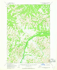
1954 · Taylor Mountains C-2
USGS Topo · 1:63,360
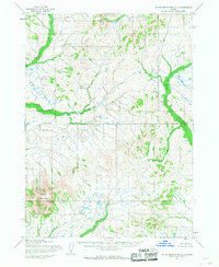
1954 · Taylor Mountains A-3
USGS Topo · 1:63,360
1954 · Taylor Mountains A-1
USGS Topo · 1:63,360