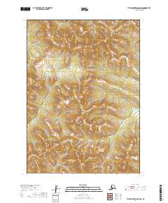
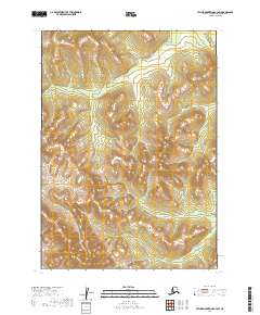
2019 Map of Taylor Mountains C-5 NE
USGS Topo · Published 2019About this map
Nushagak Hills define the terrain in this corner of the Dillingham Census Area, where high ridges and steep drainage basins dominate the landscape. The geography is marked by a rigorous survey grid, encompassing portions of t7n r47w and t8n r47w, which illustrates the systematic land division applied to the Alaskan interior. This 2019 survey provides a precise record of the upland topography before the arrival of modern infrastructure, showing a wilderness area defined almost entirely by its natural contours and the seasonal flow of unnamed tributaries. The absence of roads or established settlements on the map underscores the isolation of the region, making it an essential reference for understanding the unmodified state of these interior highlands.
Find a feature on this map
7 named features on this map. Tap any name to fly to it.
Don’t see what you’re looking for? This feature index may not catch every label — zoom into the map to look around manually.
Map Details
Editions of this 2019 Taylor Mountains C-5 NE Map
This is the sole edition of this map. No revisions or reprints were ever made.
Other maps of this area

1950 · Taylor Mountains
USGS Topo · 1:250,000

1951 · Taylor Mountains
USGS Topo · 1:250,000

1954 · Taylor Mountains
USGS Topo · 1:250,000

1954 · Taylor Mountains D-5
USGS Topo · 1:63,360

1954 · Taylor Mountains C-4
USGS Topo · 1:63,360

1954 · Taylor Mountains D-4
USGS Topo · 1:63,360
1954 · Taylor Mountains C-5
USGS Topo · 1:63,360
2019 · Taylor Mountains D-4 SW
USGS Topo · 1:25,000
2019 · Taylor Mountains C-4 NW
USGS Topo · 1:25,000
2019 · Taylor Mountains C-4 SW
USGS Topo · 1:25,000