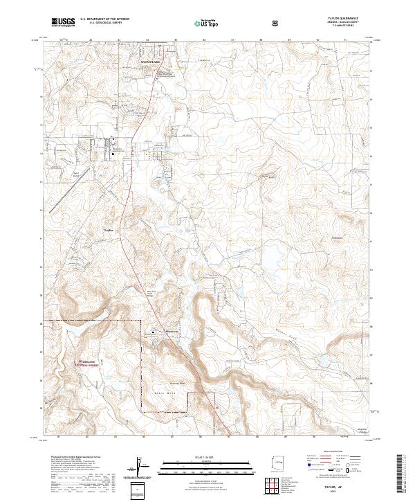
2021 Map of Taylor
USGS Topo · Published 2021About this map
Snowflake and Taylor anchor this portion of Navajo County, where the high desert terrain transitions toward the northern edge of the Mogollon Plateau. The landscape is defined by the winding course of Silver Cr and Show Low Creek, which have long supported local agriculture through works like the E Taylor Ditch and The Canal. These water systems contrast with the arid surrounding features such as Black Mesa and Shumway Butte.
Find a feature on this map
126 named features on this map. Tap any name to fly to it.
Don’t see what you’re looking for? This feature index may not catch every label — zoom into the map to look around manually.
Map Details
Editions of this 2021 Taylor Map
This is the sole edition of this map. No revisions or reprints were ever made.
Other maps of this area

1886 · St Johns
USGS Topo · 1:250,000

1886 · Holbrook
USGS Topo · 1:250,000

1892 · St Johns
USGS Topo · 1:250,000

1893 · Holbrook
USGS Topo · 1:250,000

1954 · Holbrook
USGS Topo · 1:250,000

1954 · Saint Johns
USGS Topo · 1:250,000

1957 · Holbrook
USGS Topo · 1:250,000

1957 · Saint Johns
USGS Topo · 1:250,000

1958 · Saint Johns
USGS Topo · 1:250,000

1958 · Holbrook
USGS Topo · 1:250,000