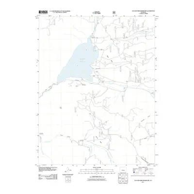
2011 Map of Taylor Park Reservoir
USGS Topo · Published 2011About this map
Taylor Park Reservoir dominates this high-altitude landscape in Gunnison County, where the Taylor River is joined by tributaries like Illinois Creek and Texas Creek. The map documents a region heavily utilized for backcountry recreation and seasonal ranching, evidenced by the clustered sites of Rivers End Campground, Lakeview Campground, and Lottis Creek Campground. Further south, the terrain transitions into the broad expanse of Union Park, where the Union Park Cow Camp indicates the continued agricultural utility of these mountain meadows.
Find a feature on this map
27 named features on this map. Tap any name to fly to it.
Don’t see what you’re looking for? This feature index may not catch every label — zoom into the map to look around manually.
Map Details
Editions of this 2011 Taylor Park Reservoir Map
This is the sole edition of this map. No revisions or reprints were ever made.
Other maps of this area

1934 · Taylor Park
USGS Topo · 1:62,500

1937 · Taylor Park
USGS Topo · 1:62,500

1940 · Garfield
USGS Topo · 1:62,500

1941 · Pitkin
USGS Topo · 1:62,500

1945 · Pitkin
USGS Topo · 1:62,500

1945 · Garfield
USGS Topo · 1:62,500

1955 · Mount Harvard
USGS Topo · 1:62,500

1956 · Montrose
USGS Topo · 1:250,000

1959 · Montrose
USGS Topo · 1:250,000

1960 · Montrose
USGS Topo · 1:250,000