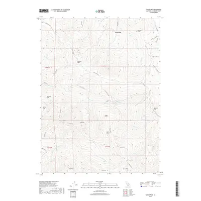
2018 Map of Taylor Peak
USGS Topo · Published 2018About this map
Hacketsville stands as a primary named settlement in this high-elevation region of Humboldt County, positioned within a landscape defined by dramatic ridgelines and creek drainages. The geography is dominated by the Bear River Ridge Rd, which traverses the high ground between the various peaks and prairie clearings. This 2018 survey illustrates a rural landscape where human infrastructure is largely limited to ridge-top access roads and small, isolated clusters of buildings. The concentration of place names around various prairies suggests a history of grazing or small-scale upland agriculture, while the complex drainage patterns feeding toward the Bear River reflect the area's steep environmental character.
Find a feature on this map
2 named features on this map. Tap any name to fly to it.
Don’t see what you’re looking for? This feature index may not catch every label — zoom into the map to look around manually.
Map Details
Editions of this 2018 Taylor Peak Map
This is the sole edition of this map. No revisions or reprints were ever made.
Other maps of this area

1916 · Cape Fortunas
USGS Topo · 1:62,500

1919 · Glynn
USGS Topo · 1:62,500

1921 · Cape Mendocino
USGS Topo · 1:62,500

1943 · Ferndale
USGS Topo · 1:62,500

1944 · Fortuna
USGS Topo · 1:62,500

1949 · Eureka
USGS Topo · 1:250,000

1950 · Cape Mendocino
USGS Topo · 1:62,500

1950 · Scotia
USGS Topo · 1:62,500

1951 · Scotia
USGS Topo · 1:62,500

1951 · Cape Mendocino
USGS Topo · 1:62,500