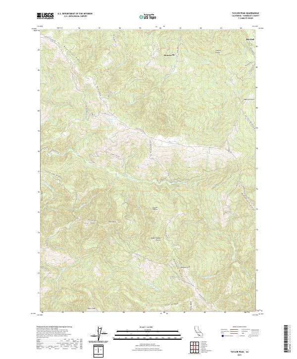
2021 Map of Taylor Peak
USGS Topo · Published 2021About this map
Hacketsville stands as a focal point in this portion of Humboldt County, situated amidst a landscape defined by dramatic elevation changes and high ridges. The area is characterized by several distinct open grasslands or prairies, including Sidehill Prairie, Moores Prairie, and Peaked Prairie, which offer a contrast to the surrounding forested drainages. To the south, the terrain rises toward Taylor Peak and Rainbow Peak, marking the divide between the river systems that drain this coastal region.
Find a feature on this map
53 named features on this map. Tap any name to fly to it.
Don’t see what you’re looking for? This feature index may not catch every label — zoom into the map to look around manually.
Map Details
Editions of this 2021 Taylor Peak Map
This is the sole edition of this map. No revisions or reprints were ever made.
Other maps of this area

1916 · Cape Fortunas
USGS Topo · 1:62,500

1919 · Glynn
USGS Topo · 1:62,500

1921 · Cape Mendocino
USGS Topo · 1:62,500

1943 · Ferndale
USGS Topo · 1:62,500

1944 · Fortuna
USGS Topo · 1:62,500

1949 · Eureka
USGS Topo · 1:250,000

1950 · Cape Mendocino
USGS Topo · 1:62,500

1950 · Scotia
USGS Topo · 1:62,500

1951 · Scotia
USGS Topo · 1:62,500

1951 · Cape Mendocino
USGS Topo · 1:62,500