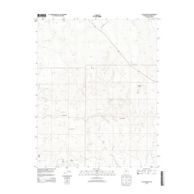
2013 Map of Taylor Ranch
USGS Topo · Published 2013About this map
The high-desert terrain of northwestern Sandoval County is defined here by the broad San Isidro Valley and the intersecting drainages of the Arroyo Pelon and San Isidro Wash. This 2013 survey illustrates a landscape of large-scale landholdings and ranching operations, marked by the presence of Taylor Ranch, Alexander Ranch, and Wood Ranch. The northeastern portion of the map is bordered by the Apache Indian Res, with Indian Service Route 37 providing access through the rugged topography. Geologic features like the Ceja Pelon Mesa and Mesa Penistaja dominate the southwestern quadrant, creating a complex series of benches and escarpments typical of this region's mesa-and-arroyo country. Local hydrology is represented by seasonal watercourses and the solitary Dry Spring, which likely served as a critical resource for early pastoral activities.
Find a feature on this map
15 named features on this map. Tap any name to fly to it.
Don’t see what you’re looking for? This feature index may not catch every label — zoom into the map to look around manually.
Map Details
Editions of this 2013 Taylor Ranch Map
This is the sole edition of this map. No revisions or reprints were ever made.
Other maps of this area
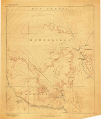
1883 · Mt. Taylor
USGS Topo · 1:250,000
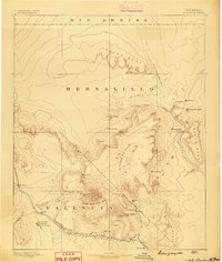
1886 · Mt. Taylor
USGS Topo · 1:250,000
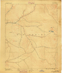
1889 · Largo
USGS Topo · 1:250,000
1892 · Mt. Taylor
USGS Topo · 1:250,000
1895 · Largo
USGS Topo · 1:250,000
1899 · Mt. Taylor
USGS Topo · 1:250,000
1954 · Aztec
USGS Topo · 1:250,000
1958 · Aztec
USGS Topo · 1:250,000
1958 · Albuquerque
USGS Topo · 1:250,000
1961 · Ojo Encino Mesa
USGS Topo · 1:24,000