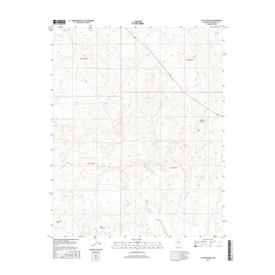
2017 Map of Taylor Ranch
USGS Topo · Published 2017About this map
San Isidro Valley forms the central geographic character of this high-desert landscape in Sandoval County. The land is defined by prominent topographical elevations including Mesa Penistaja and the southwestern edge of Ceja Pelon Mesa, which stand above a complex drainage network. Water management and natural flow are evident through the seasonal channels of Penistaja Arroyo and San Isidro Wash, which carve through the arid terrain.
Find a feature on this map
13 named features on this map. Tap any name to fly to it.
Don’t see what you’re looking for? This feature index may not catch every label — zoom into the map to look around manually.
Map Details
Editions of this 2017 Taylor Ranch Map
This is the sole edition of this map. No revisions or reprints were ever made.
Other maps of this area
1883 · Mt. Taylor
USGS Topo · 1:250,000
1886 · Mt. Taylor
USGS Topo · 1:250,000
1889 · Largo
USGS Topo · 1:250,000
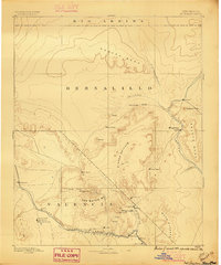
1892 · Mt. Taylor
USGS Topo · 1:250,000
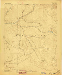
1895 · Largo
USGS Topo · 1:250,000
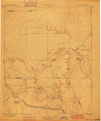
1899 · Mt. Taylor
USGS Topo · 1:250,000
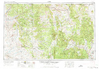
1954 · Aztec
USGS Topo · 1:250,000
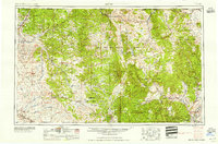
1958 · Aztec
USGS Topo · 1:250,000
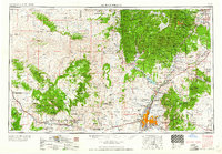
1958 · Albuquerque
USGS Topo · 1:250,000
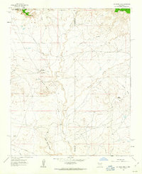
1961 · Ojo Encino Mesa
USGS Topo · 1:24,000