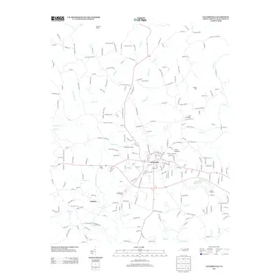
2013 Map of Taylorsville
USGS Topo · Published 2013About this map
Taylorsville serves as the central hub for this portion of Alexander County, characterized by a mix of upland agriculture and localized aviation hubs. The landscape is defined by its many watercourses, including Muddy Fork, Stirewalt Cr, and Lower Little River, which feed into the area's rural landscape. Named agricultural sites like Saint Clair Orchard, Roberson Orchard, and the Reese Dairy Farm highlight the region's enduring farming legacy.
Find a feature on this map
221 named features on this map. Tap any name to fly to it.
Don’t see what you’re looking for? This feature index may not catch every label — zoom into the map to look around manually.
Map Details
Editions of this 2013 Taylorsville Map
This is the sole edition of this map. No revisions or reprints were ever made.
Other maps of this area

1889 · Wilkesboro
USGS Topo · 1:125,000

1891 · Wilkesboro
USGS Topo · 1:125,000

1895 · Hickory
USGS Topo · 1:125,000

1953 · Charlotte
USGS Topo · 1:250,000

1953 · Winston-Salem
USGS Topo · 1:250,000

1954 · Charlotte
USGS Topo · 1:250,000

1955 · Winston-Salem
USGS Topo · 1:250,000

1960 · Charlotte
USGS Topo · 1:250,000

1962 · Winston-Salem
USGS Topo · 1:250,000

1962 · Charlotte
USGS Topo · 1:250,000