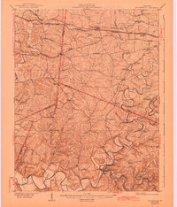
1954 Map of Taylorsville
USGS Topo · Published 1955About this map
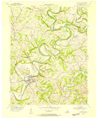
The Salt River and its winding tributaries dominate this mid-century portrait of Spencer and Shelby counties. Taylorsville sits at the prominent confluence of the river and Brashears Creek, positioned beneath the heights of Snyder Bluff. The landscape is defined by the tight meanders of these watercourses, which carved out distinctive terrain features like Anderson Hill and Black Hill. This 1954 survey captures the rural character of central Kentucky before significant modern development, showing a network of small agricultural hubs and family settlements. Named locales such as Rivals, Normandy, and Veech are connected by winding country roads, while local genealogy is rooted in sites like Little Mount Cem and Valley Cem. The map illustrates a traditional river-and-ridge economy, where the creek valleys provided the primary routes for transit and habitation.
Find a feature on this map
24 named features on this map. Tap any name to fly to it.
Don’t see what you’re looking for? This feature index may not catch every label — zoom into the map to look around manually.
Map Details
Editions of this 1954 Taylorsville Map
This is the sole edition of this map. No revisions or reprints were ever made.
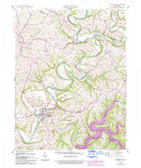
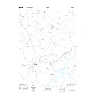
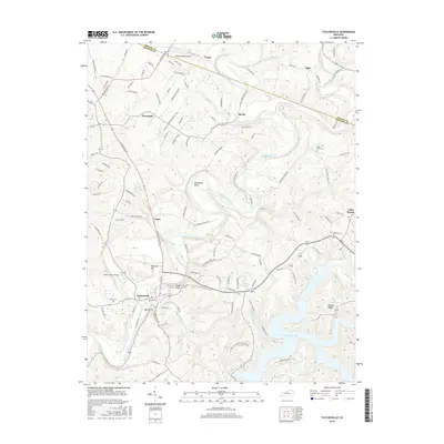
Historical Maps of Taylorsville Through Time
8 maps found