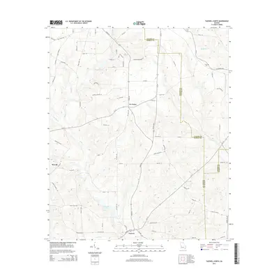
2014 Map of Tazewell North
USGS Topo · Published 2014About this map
Tazewell and the central settlement of Five Points anchor this portion of the Georgia coastal plain, where the drainage basins of Shoal Cr and Cedar Cr dictate the rural road network. The landscape is defined by the intersection of several counties, with boundaries for Taylor, Marion, and Schley counties meeting amidst a complex of local creeks. Significant family and historical landmarks appear throughout, such as Trinity Cem in the northeast and Johnson Cemetery Rd further west. The presence of Chapman Lake and the flow of Little Cr southward reflect a terrain heavily influenced by its hydrology, supporting a dispersed agricultural community connected by routes like Fort Perry Rd and Poll Mill Rd. This 2014 survey captures the persistence of these small settlements and their naming traditions along the banks of Rambalette Cr and Gin Creek.
Find a feature on this map
77 named features on this map. Tap any name to fly to it.
Don’t see what you’re looking for? This feature index may not catch every label — zoom into the map to look around manually.
Map Details
Editions of this 2014 Tazewell North Map
This is the sole edition of this map. No revisions or reprints were ever made.
Other maps of this area

1907 · Talbotton
USGS Topo · 1:125,000

1950 · Geneva
USGS Topo · 1:24,000

1950 · Buena Vista NE
USGS Topo · 1:24,000

1950 · Buena Vista
USGS Topo · 1:24,000

1950 · Buena Vista
USGS Topo · 1:62,500

1950 · Talbotton
USGS Topo · 1:62,500

1955 · Buena Vista
USGS Topo · 1:24,000

1955 · Buena Vista NE
USGS Topo · 1:24,000
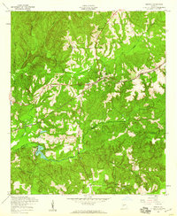
1955 · Geneva
USGS Topo · 1:24,000
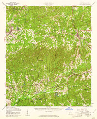
1955 · Talbotton
USGS Topo · 1:62,500