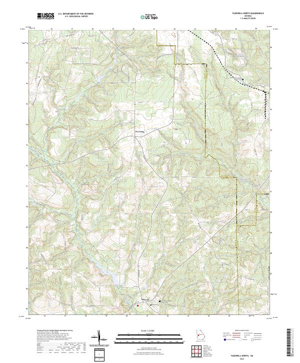
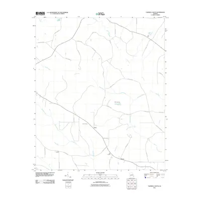
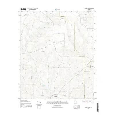
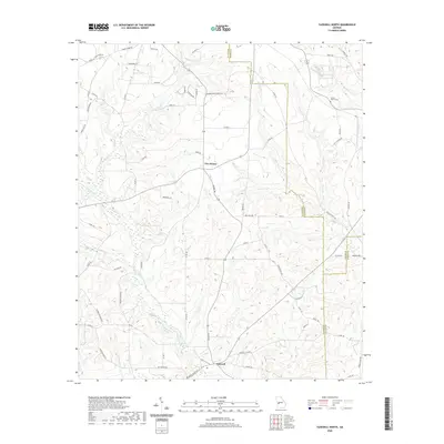
2024 Map of Tazewell North
USGS Topo · Published 2024About this map
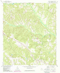
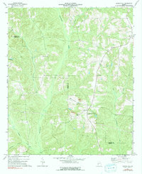
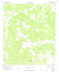
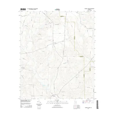
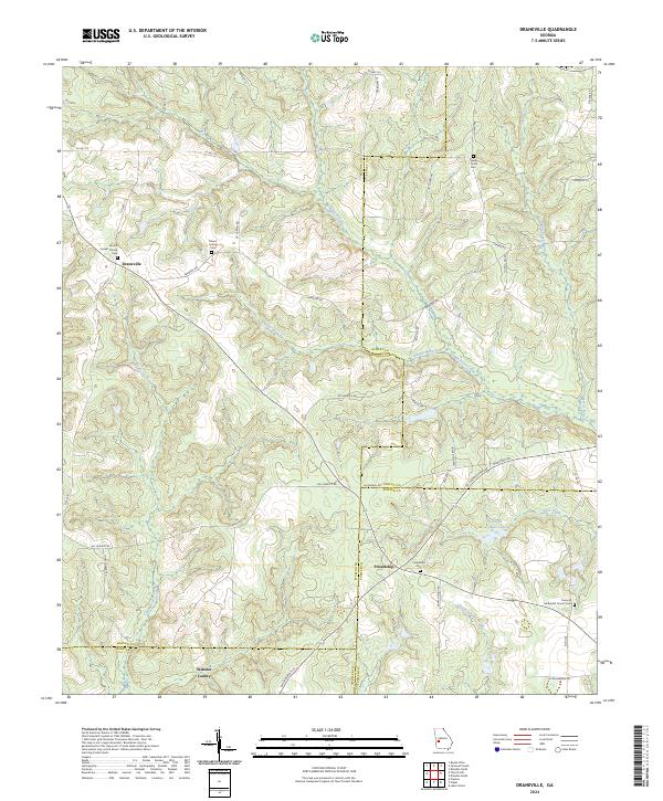
Tazewell serves as a primary southern focal point on this map of Marion County, situated at the intersection of several local routes. The landscape is defined by its rural settlement patterns and the branching drainage systems of Shoal Creek and Cedar Creek. To the north, the junction at Five Points marks another local crossroads, while the terrain between these hubs is sparsely populated and dominated by winding roads such as Brady Rd and Poll Mill Rd.
Find a feature on this map
75 named features on this map. Tap any name to fly to it.
Don’t see what you’re looking for? This feature index may not catch every label — zoom into the map to look around manually.
Map Details
Editions of this 2024 Tazewell North Map
This is the sole edition of this map. No revisions or reprints were ever made.
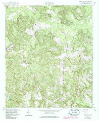
Historical Maps of Tazewell Through Time
31 maps found
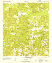
1950 Buena Vista NE
Marion County, GA
1955 Buena Vista NE
Marion County, GA
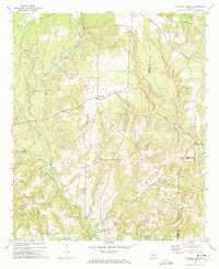
1971 Tazewell North
Marion County, GA
1971 Tazewell South
Marion County, GA
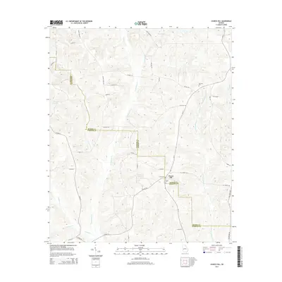
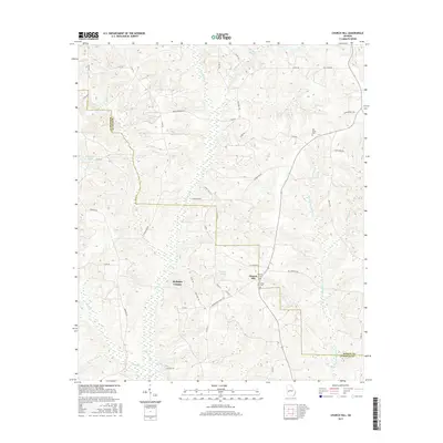
1973 Church Hill
Marion County, GA
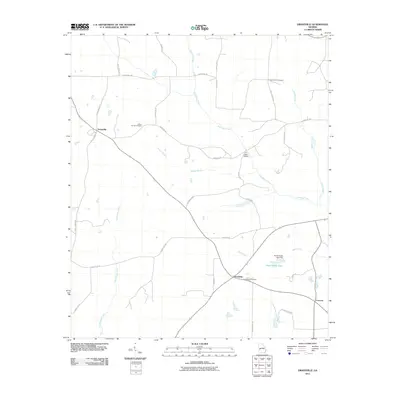
1973 Draneville
Marion County, GA

2011 Buena Vista NE
Marion County, GA
2011 Church Hill
Marion County, GA
2011 Draneville
Marion County, GA
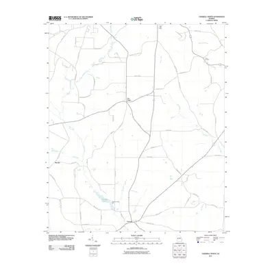
2011 Tazewell North
Marion County, GA
2011 Tazewell South
Marion County, GA

2014 Buena Vista NE
Marion County, GA
2014 Church Hill
Marion County, GA
2014 Draneville
Marion County, GA
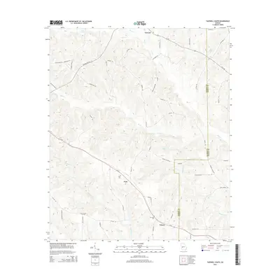
2014 Tazewell North
Marion County, GA
2014 Tazewell South
Marion County, GA

2017 Buena Vista NE
Marion County, GA
2017 Church Hill
Marion County, GA
2017 Draneville
Marion County, GA
2017 Tazewell North
Marion County, GA
2017 Tazewell South
Marion County, GA

2020 Buena Vista NE
Marion County, GA
2020 Church Hill
Marion County, GA
2020 Draneville
Marion County, GA
2020 Tazewell North
Marion County, GA

2020 Tazewell South
Marion County, GA
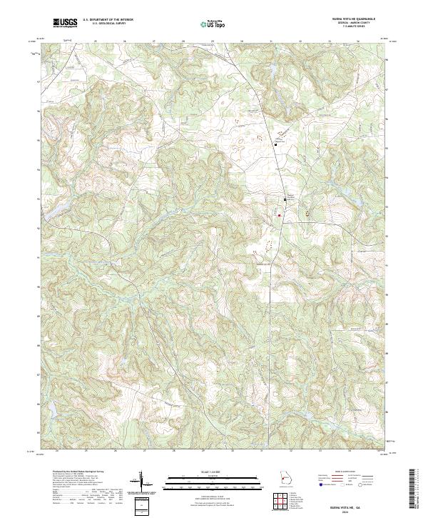
2024 Buena Vista NE
Marion County, GA
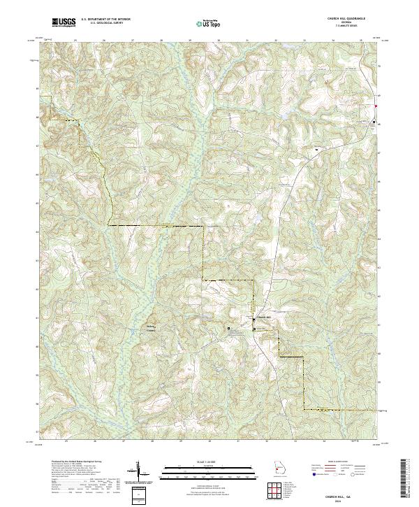
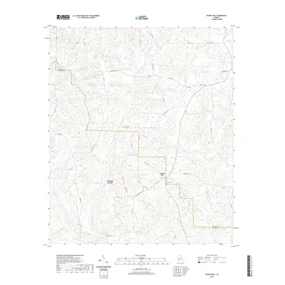
2024 Church Hill
Marion County, GA
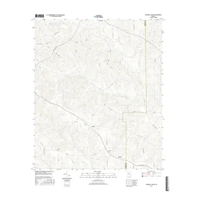
2024 Draneville
Marion County, GA
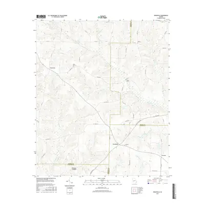
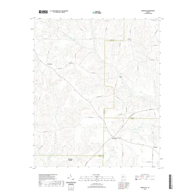
2024 Tazewell North
Marion County, GA
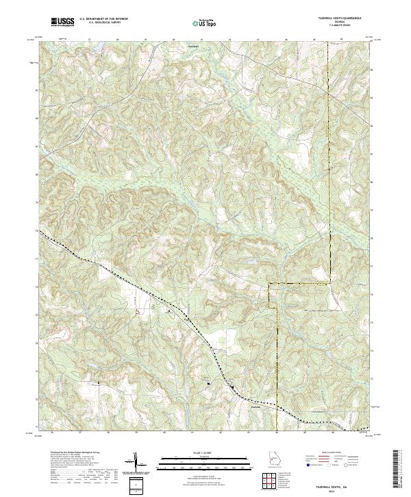
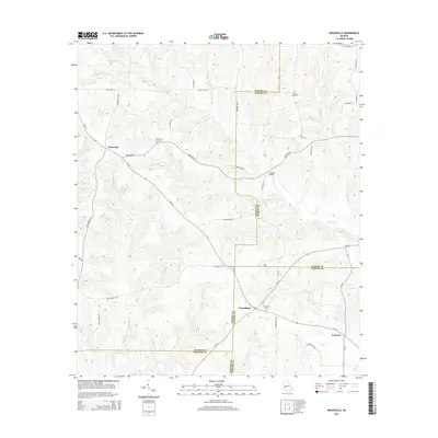
2024 Tazewell South
Marion County, GA