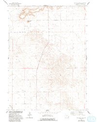
1963 Map of Tea Kettle Rock
USGS Topo · Published 1993About this map
Tea Kettle Rock and the surrounding high plains of Goshen County define this western landscape as it was documented in the early 1960s. The terrain is characterized by the prominent rise of Ninemile Hill and the essential path of the Interstate Canal across the southern portion of the quadrangle. This area shows the critical infrastructure of the Missouri River Basin development program, where water management and ranch access were paramount. Small-scale industrial and aviation footprints are visible through a local Sandpit and a remote Landing Strip, while the Tea Kettle Rock Road provides a primary corridor through the open range. The map captures a moment in Wyoming's history where topography dictated the placement of roads and resource management systems, reflecting a sparsely populated but active ranching and utility environment.
Find a feature on this map
8 named features on this map. Tap any name to fly to it.
Don’t see what you’re looking for? This feature index may not catch every label — zoom into the map to look around manually.
Map Details
Editions of this 1963 Tea Kettle Rock Map
2 editions found
Other maps of this area

1896 · Patrick
USGS Topo · 1:125,000

1954 · Torrington
USGS Topo · 1:250,000

1958 · Torrington
USGS Topo · 1:250,000
1960 · Cottier
USGS Topo · 1:24,000
1963 · Torrington SE
USGS Topo · 1:24,000
1963 · Lingle
USGS Topo · 1:24,000

1963 · Tea Kettle Rock
USGS Topo · 1:24,000
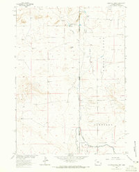
1963 · Carpenter Ranch
USGS Topo · 1:24,000
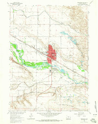
1963 · Torrington
USGS Topo · 1:24,000

1974 · Spoon Butte SW
USGS Topo · 1:24,000