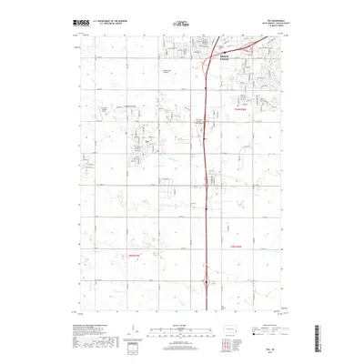
2017 Map of Tea
USGS Topo · Published 2017About this map
The growing community of Tea and the southern edge of Sioux Falls define this landscape on the Coteau des Prairies plateau. The map captures a moment of suburban expansion and infrastructure development, featuring the Marv Skie-Lincoln County Airport and the Chris Hofer Landing Strip. Educational and local institutions are represented by the National American University, while the area's history is preserved at the Tea Cem and Faith LaValley Cem.
Find a feature on this map
64 named features on this map. Tap any name to fly to it.
Don’t see what you’re looking for? This feature index may not catch every label — zoom into the map to look around manually.
Map Details
Editions of this 2017 Tea Map
This is the sole edition of this map. No revisions or reprints were ever made.
Other maps of this area

1897 · Canton
USGS Topo · 1:125,000

1900 · Canton
USGS Topo · 1:125,000

1955 · Sioux Falls
USGS Topo · 1:250,000

1958 · Sioux Falls
USGS Topo · 1:250,000

1962 · Harrisburg
USGS Topo · 1:24,000

1962 · Sioux Falls East
USGS Topo · 1:24,000

1962 · Tea
USGS Topo · 1:24,000

1962 · Hartford South
USGS Topo · 1:24,000

1962 · Lennox NW
USGS Topo · 1:24,000

1962 · Sioux Falls West
USGS Topo · 1:24,000